cairngormhills.co.uk
Walking the Big Hills of the Cairngorms
Cairngorm and Ben Macdui
| Cairngorm [NJ004040, 1245] | |
| Ben Macdui [NN988989, 1309] | |
| OS map : | 36 |
| start : | Cairngorm Ski Area Car Park |
| gridref : | NH990060 |
| summary : | Cairngorm Car Park - Cairngorm - Ben Macdui - Cairngorm Car Park |
| distance : | 16.0km. |
| ascent : | 810m. |
| time taken : | 6hr. 20min. |
These are two of the largest UK hills but it does not feel so as Cairngorm itself is easily accessible from the ski area. Ben Macdui provides a good walk in the Cairngorm wilderness leaving the ski area well behind. Remember that despite the ski developments this plateau is one of the wildest areas in the UK and needs to be treated with respect.
The main skiers car park in Coire Cas at the end of the road is un-missible and always busy with skiers, walkers, climbers and funicular passengers depending on the time of year. On a busy ski day it pays to get there early, otherwise there is ample parking.
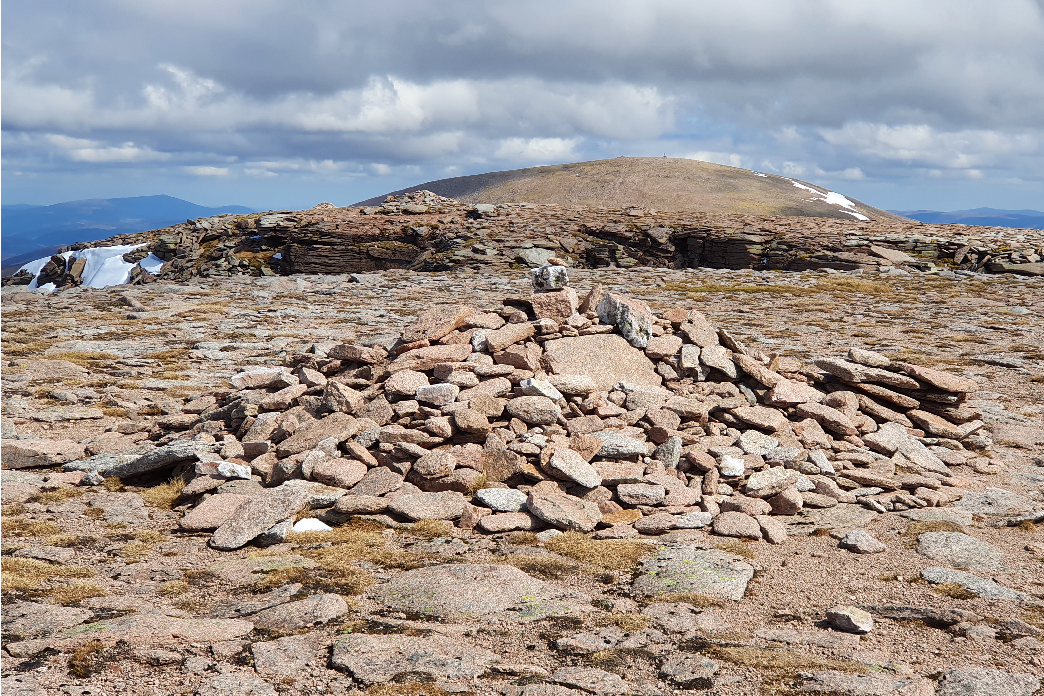
There are many routes from Coire Cas to the summit of Cairngorm. All of them go through the ski development. In winter it is good manners, and safer, to keep to the side of the piste alongside the snow fences. From the car park follow the road past the Day Lodge and cross under the railway. Follow the path up towards Windy Ridge and once there continue along the ridge to the Ptarmigan restaurant. Continue along the well marked path to the summit. Cairngorm summit is unmistakable with a large cairn and the automatic weather station nearby.(3kms. 640m. 2hrs. 10min.)
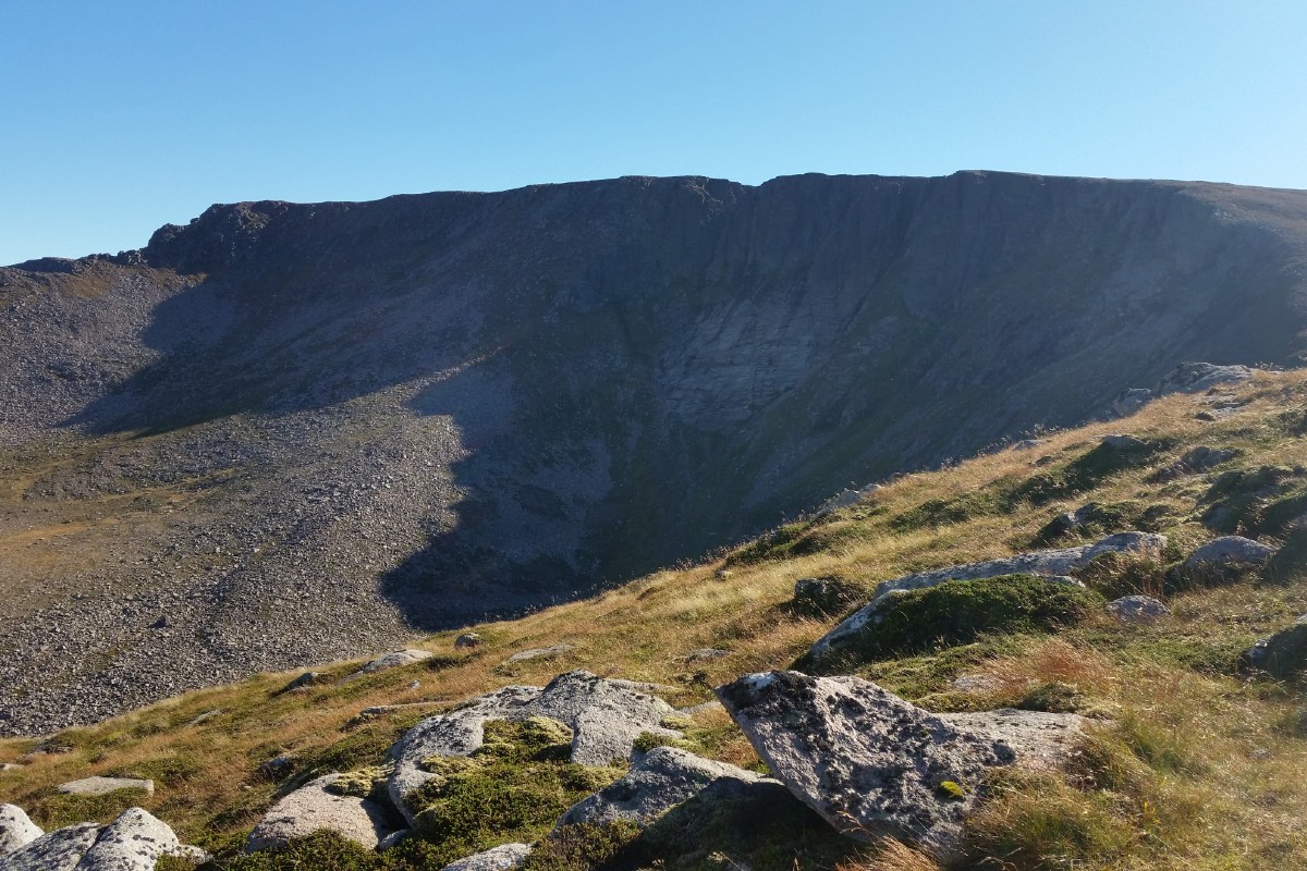
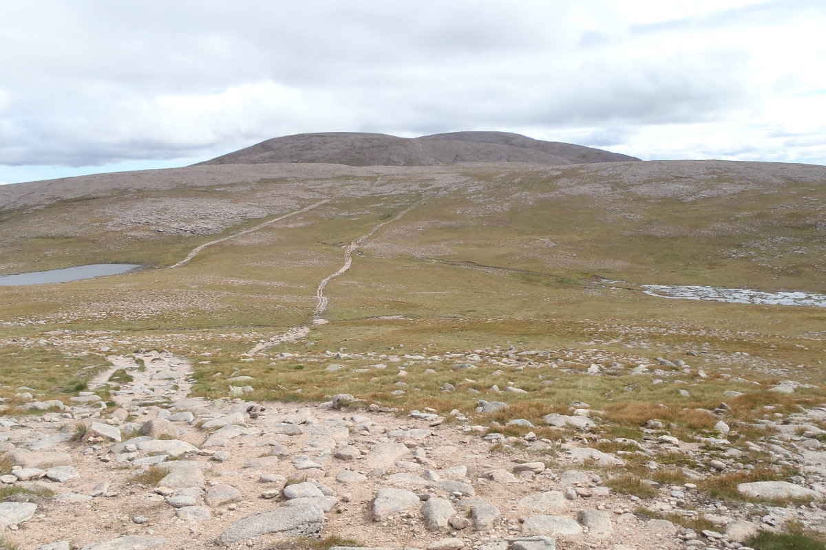
From the summit of Cairngorm descend W along the rim of Coire Cas and then around the rim of Coire an t Sneachda. Just before the path ascends Cairn Lochan a path leads south west towards the Lochan Buithe. From the lochan the route to Ben Macdui is straightforward, over the north summit and along the ridge to the main summit. The large rounded summit of Ben MacDui is topped by a large summit cairn with trig point, unmistakable. (6kms. 170m. 2hrs. 10min.)
Descend from Ben Macdui north to the head of Lochan Buidhe and then without losing any unnecessary height north west to the top 1083. Follow the path down the east ridge of Lurchers gully, heading north east towards the bottom to meet the path. Follow the path back to the ski area carpark.(7kms. 0m. 2hrs. 10min.)
© cairngormhills.co.uk all rights reserved 2015-2026


