cairngormhills.co.uk
Walking the Big Hills of the Cairngorms
Eastern Glen Shee Hills.
| Cairn of Claise [NO185789, 1064] | |
| Carn an Tuic [NO174804, 1019] | |
| OS map : | 43 |
| start : | A93 Car Park. |
| gridref : | NO148800 |
| summary : | A93 roadside - Cairn of Claise - Carn an Tuirc A93 roadside |
| distance : | 10.0km. |
| ascent : | 580m. |
| time taken : | 4hr. 10min. |
These hills sit on the boundary, and to the north, of the Glenshee ski developments. But they are not really impacted by these developments. The hiils are typical of the area, with rounded grassy walking and rocks below the surface making, for a solid walking surface in all weather, except perhaps in the snow. This route climbs the two Munros nearest the A93 north of the ski area.
Just north of the main Glenshee ski area there is a break in the armco on the right, east, side of the road. There is a carpark just through this break with parking for ten or so cars.
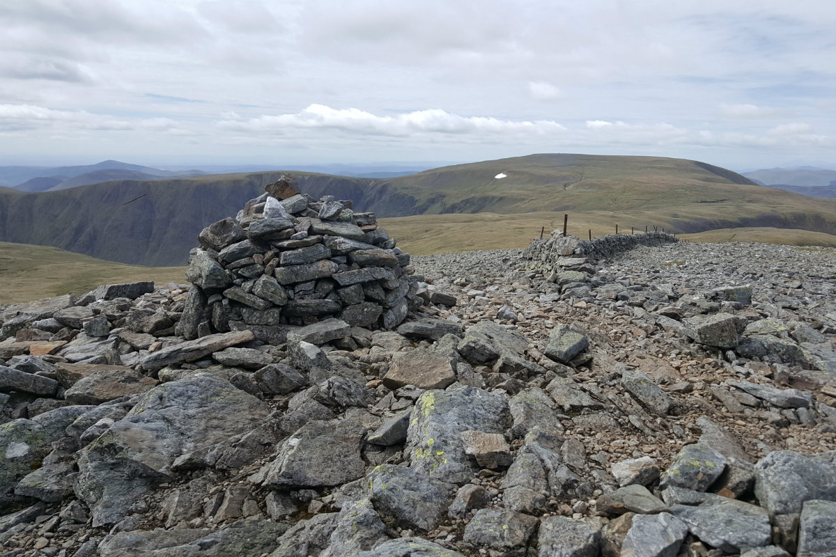
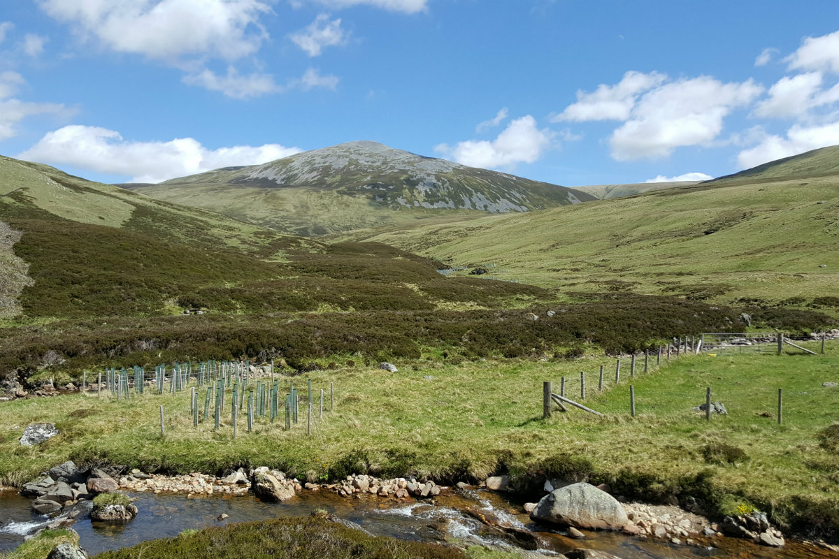
Follow the track downhill towards the river and cross the stream by the southern bridge. From here follow the river on the southern bank until a path can be seen that climbs Sron na Gaoith. This is marked on the map, but in reality there are many faint paths, any of which will do as long as you keep east of the main summit avoiding the rocks. Once on the ridge there is a good path that follows the ridge south east towards the mid point between Glas Maol and Cairn of Claise. When the main ridge is reached turn left, north east and walk along the track for 1k. Follow the boundary wall on the true ridge when reached, and the main summit is found amidst some stony ground. (4kms. 520m. 2hrs. 20min.)
Follow in the general direction of the northern flank of Cairn of Claise when leaving the summit in order to reach the bealach east of Cairn of Claise. The route to the summit of Carn an Tuirc is up the eastern flank of the hill. Good walking on grassy slopes. (2.5kms. 60m. 1hrs. 0min.)
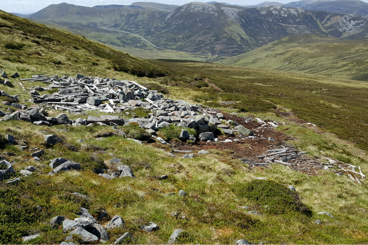
The descent is back to the A93. Go north avoiding the steep rocks, and then North West from the summit down the line of the stream to reach the ruined cabin. This is the remnants of the skiing on this hill. From here there is a good stalking track that can easily be followed down the to bridge over the river. Climb up to the car. (3.5kms. 0m. 1hrs. 10min.)
4th November 2022 The weather forecast promised sunshine but out on the hills there was a strong reminder that this is November. There was a strong cold wind and the sun appeared only when the morning cloud had lifted. The pools of water were frozen higher up - winter is nearly here. I was glad to have lots of clothing layers to put on. Despite this there were a few hardy soles out on these hills. This is a great walk for these shorter days.
28th April 2021 I should not be be deceived by the weather forecast which indicated a bright day - this was full winter blizzard. Well showers and the views in the clear periods were great. The snow hides some of the paths but navigation is simple here. A fantastic day out on the hills and not busy.
© cairngormhills.co.uk all rights reserved 2015-2025


