cairngormhills.co.uk
Walking the Big Hills of the Cairngorms
Ascent of Meall Chuaich
| Meall Chuaich [NN716878, 951] | |
| OS map : | 42 |
| start : | A9 layby north Dalwhinnie |
| gridref : | NN655867 |
| summary : | A9 layby North Dalwhinnie - Meall Chuaich - A9 layby |
| distance : | 12.0km. |
| ascent : | 800m. |
| time taken : | 5hr. 10min. |
View of the hill
©cairngormhills.co.uk
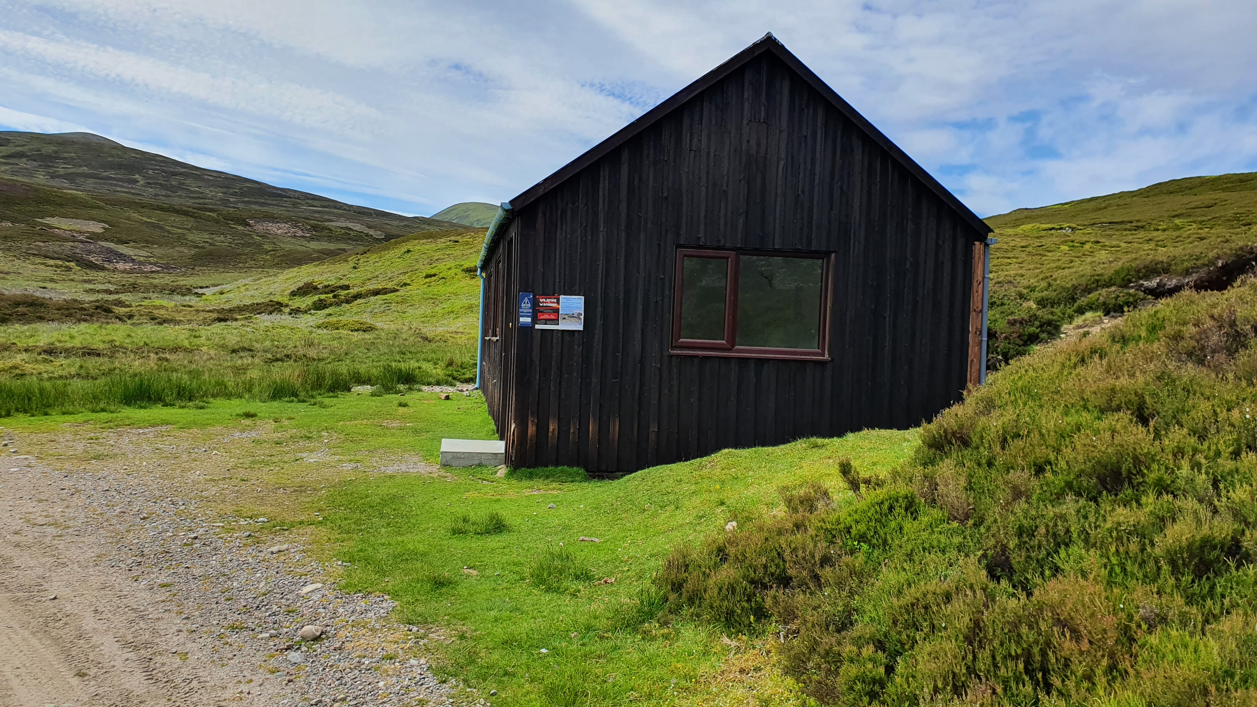
The hut on way up.
©cairngormhills.co.uk
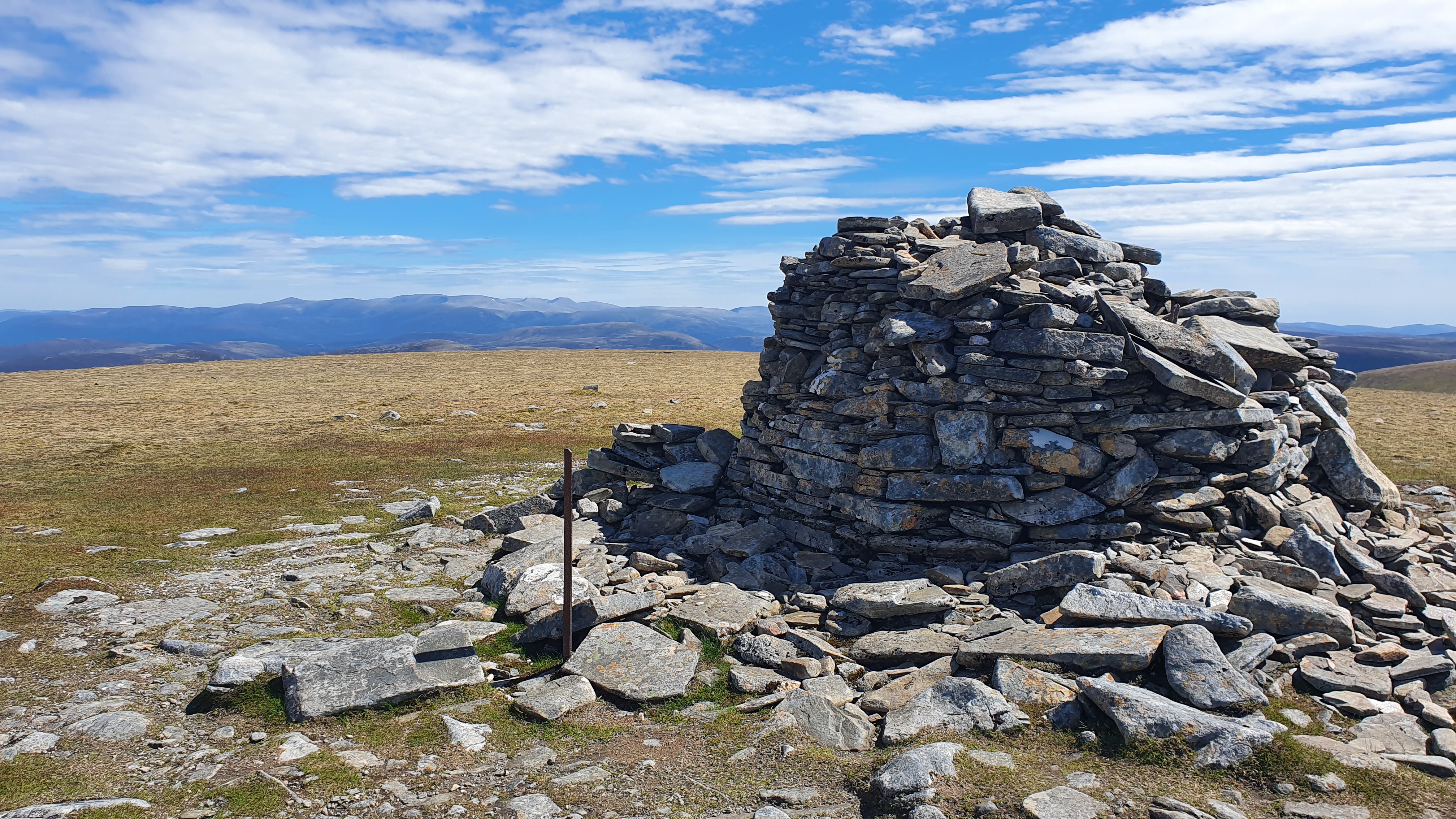
Summit Cairn.
©cairngormhills.co.uk
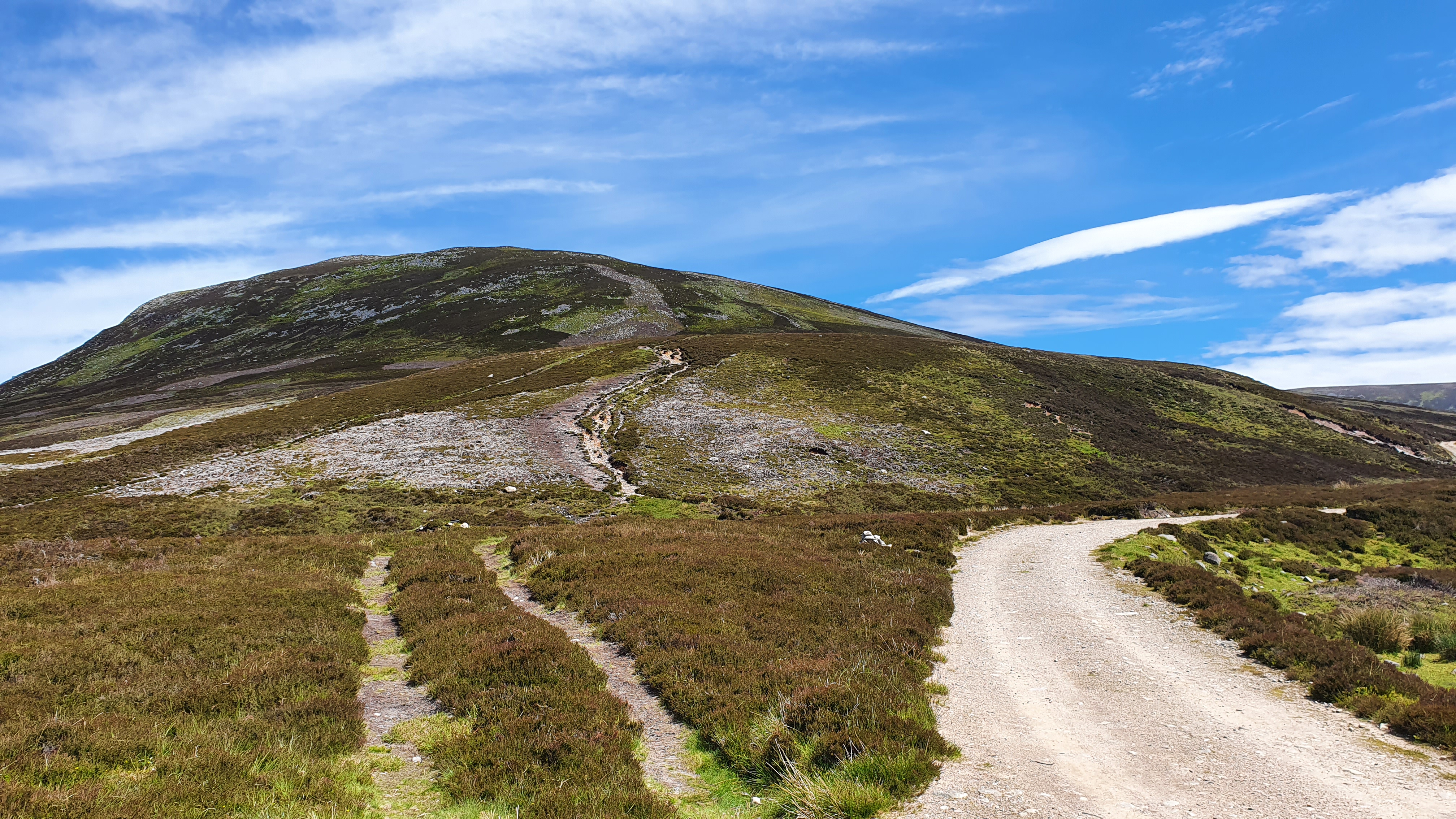
this is the way.
©cairngormhills.co.uk
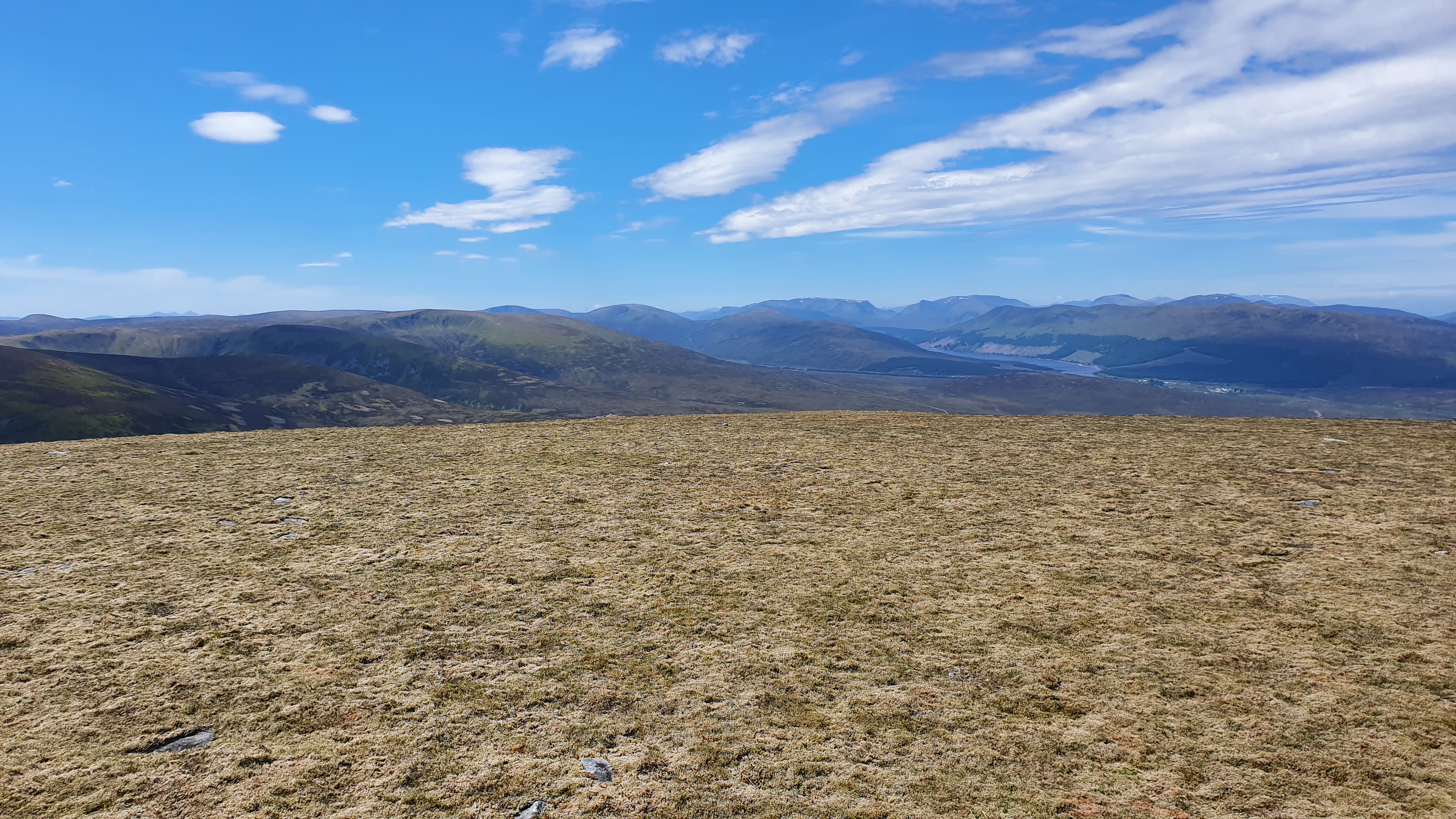
Panorama.
©cairngormhills.co.uk
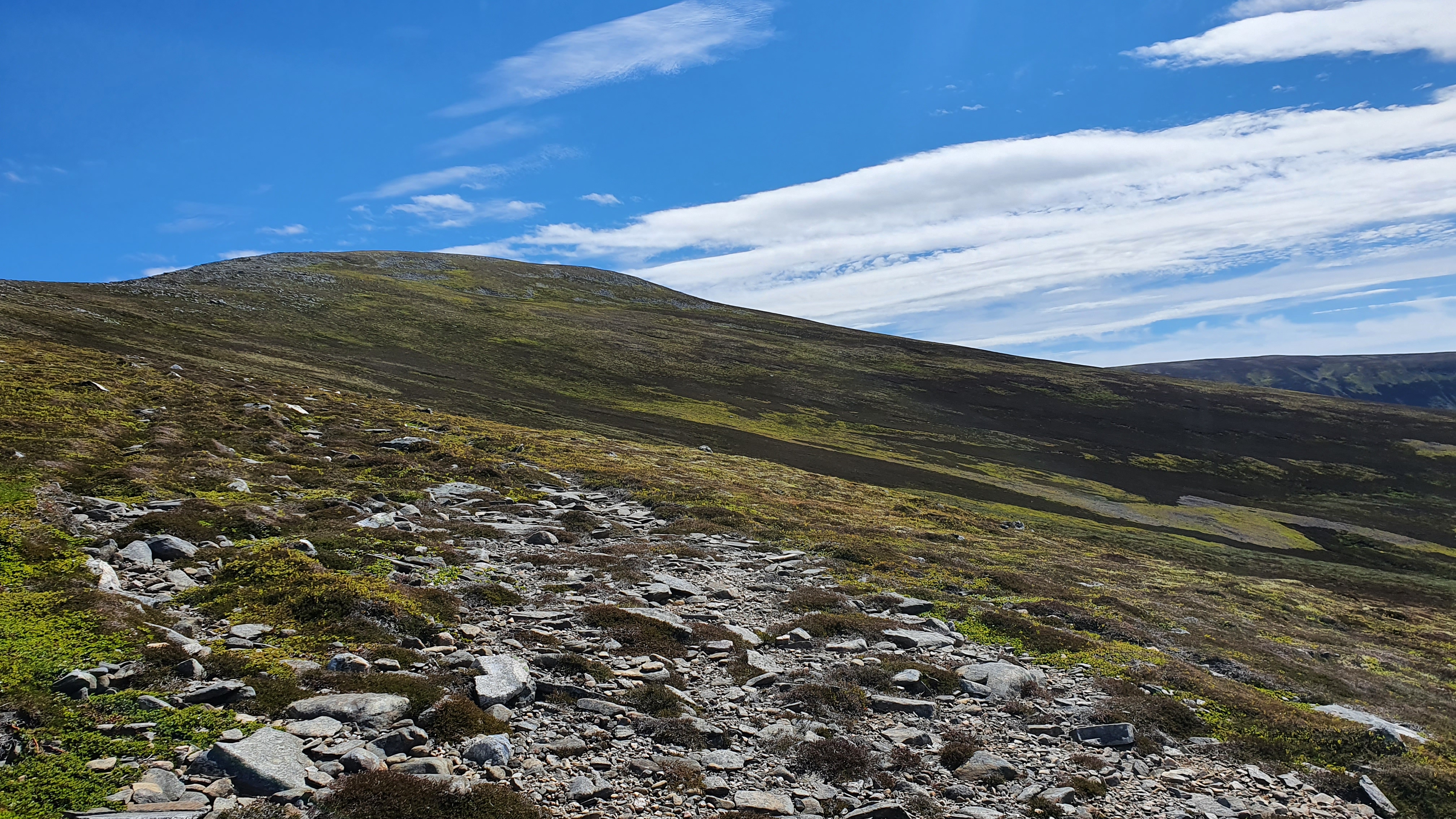
Towards the top.
©cairngormhills.co.uk
Hill from afar.
©cairngormhills.co.uk
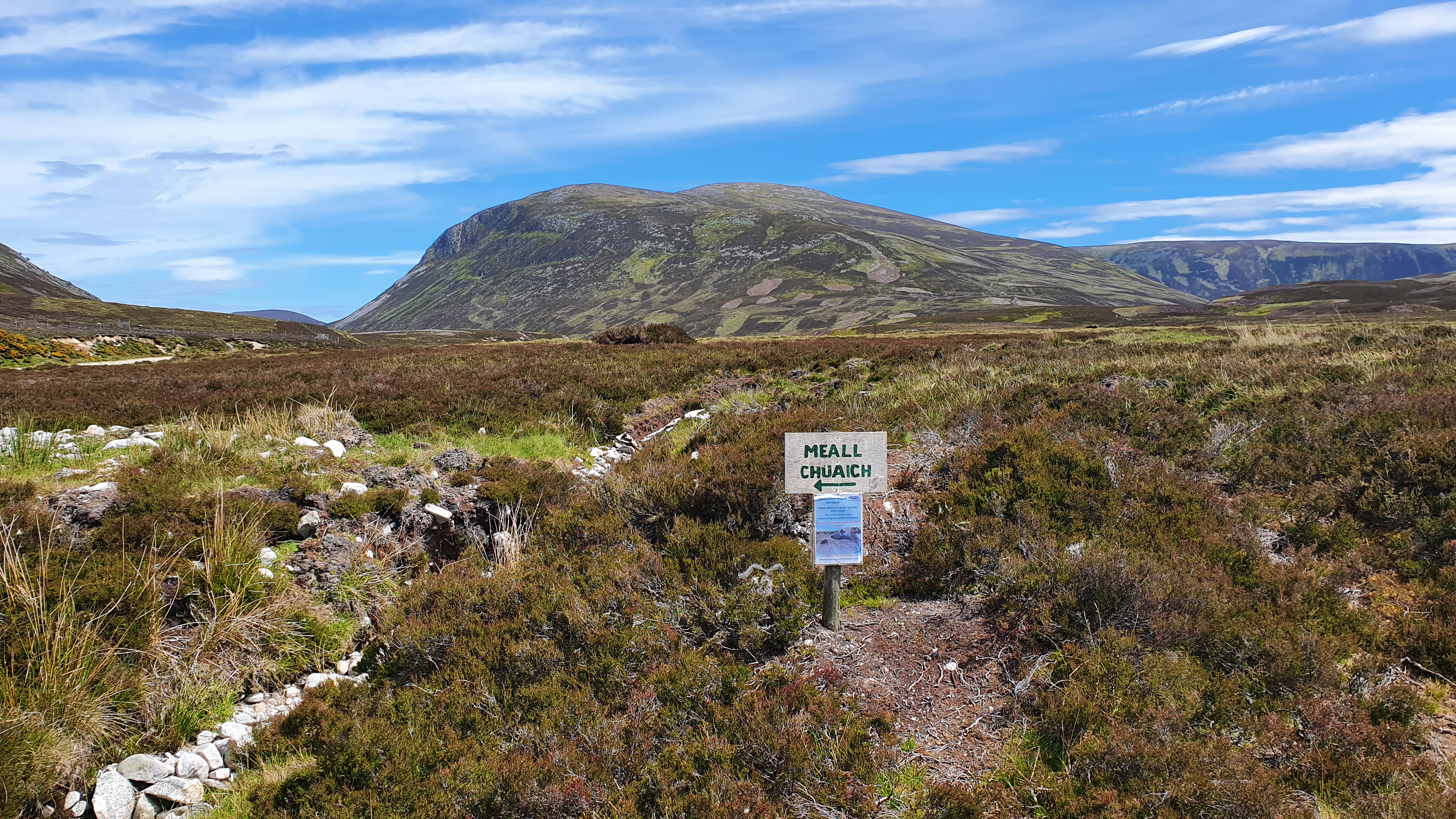
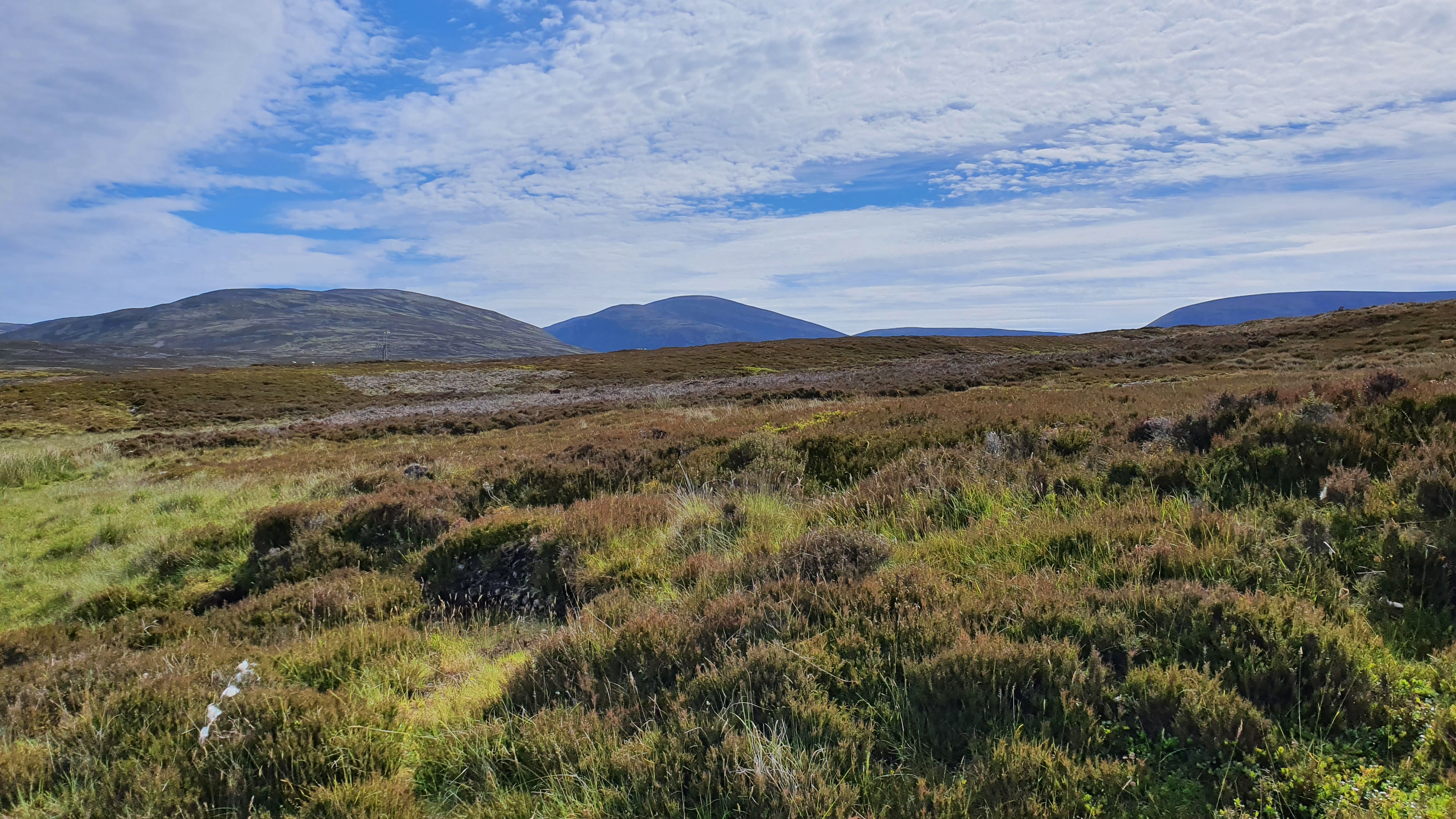
Meall Chuaich is set well east of the A9 but is easily accessible due to the power station up the valley. Indeed some people will cycle to the foot of the hill from the A9 along the good road then track. Meall Chuaich is an isolated hill and has some good views over to the main Cairngorm hills and also south towards Perthshire.
Roadside layby just N of Dalwhinnie village. Park on the grass verge either side of the gate.
Start through the gate and then walk or cycle along the tarmaced road to the junction just short of the loch (NN690870). Here is a building where it is convenient to leave a cycle if needed. Continue along this track for 0.5km. then ascend the steep south west ridge of the hill. Follow the steep ridge to the shoulder and then east onto the main summit. The higher slopes are much easier walking than lower down due to lower vegitation and stones underfoot. The final slopes of Meall Chuaich are stony but the summit is flat and mossy. The top is marked with a cairn. (7kms. 630m. 3hrs. 20min.)
There is not much option to returning except by the uphill route. Follow the top ridge west and then descend the south west spur of the hill to the building. this is where cyclists have an advantage - it is an exhilarating and speedy descent on the tracks back to the start - a more restrained final descent is required of walkers.(5kms. 170m. 1hrs. 50min.)
© cairngormhills.co.uk all rights reserved 2015-2025