cairngormhills.co.uk
Walking the Big Hills of the Cairngorms
East Drumochter Hills
| A Buidheanach Beag [NN661776, 936] | |
| Carn Na Caim [NN677822, 941] | |
| OS map : | 42 |
| start : | Balsporran Cottage |
| gridref : | NN626791 |
| summary : | Balsporran Cottage - A'Buidheanach Bheag - Carn na Caim A9 layby - Balsporran Cottage |
| distance : | 15.5km. |
| ascent : | 745m. |
| time taken : | 6hr. 0min. |
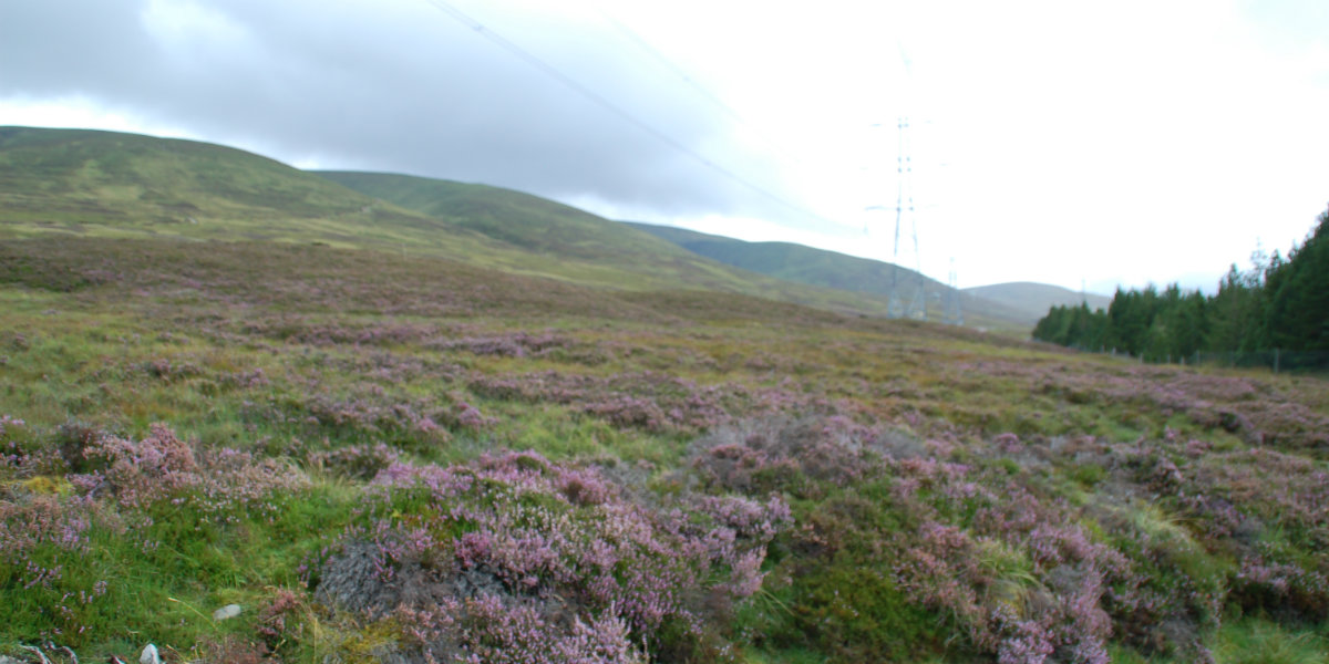
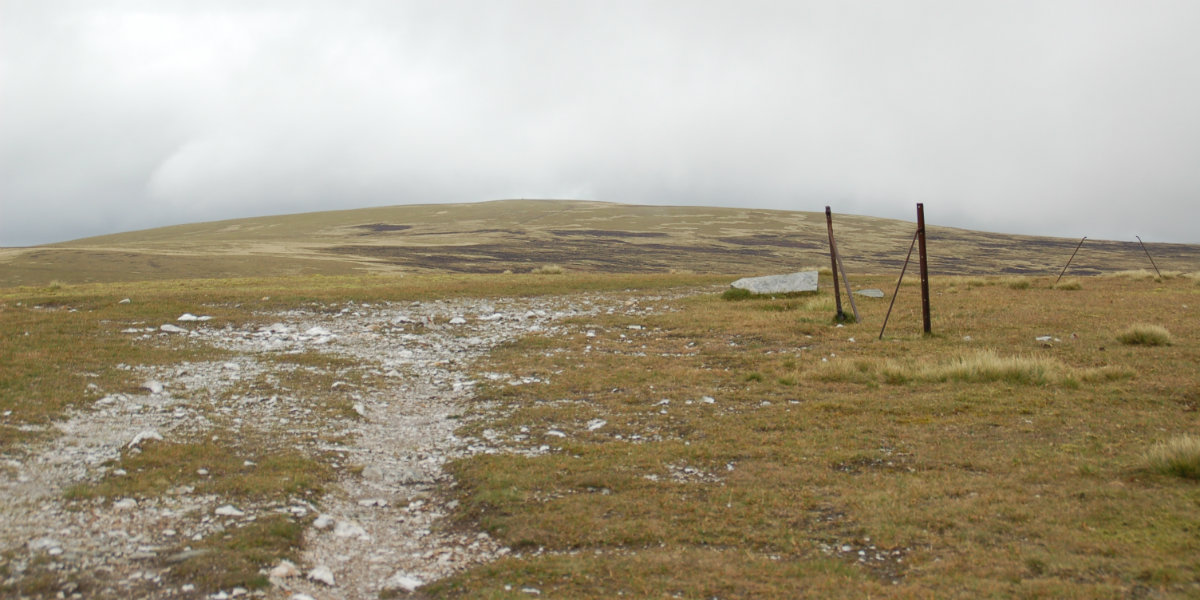
There are two Munros in the land East of the A9. Much of this land is a flat plateau resembling Pennine Moors rather than the Scottish Hills. But this is a true Munro experience with some rough walking over the high plateau with some good views over to the higher Cairngorms.
There is a large car park just off the A9 at Balsporran Cottage, although busy there is always room.
From Balsporran Cottage, the first task is to safely cross this busy road. Once on the other side, go through the gate and follow the track that leads to Drumochter Lodge. Just before this there is an obvious track that climbs steeply up the hillside. Join this path by crossing the river and then follow the good track up the hillside. This continues well past the point that it stops being marked on the map. Towards the top the angle relents to lead to a wide and open plateau. The walker continues over this moor to the trig point marking the top of A'Buidheanach Beag. (4.0kms. 525m. 2hrs. 20min.)
• Next is to continue along the ridge to A' Buidheanach Mor. From the summit the walker can see a distinctive track that goes around the south of A'Buidheanach. The route is to make directly to this path. The area lower down can be quite wet. Now on the track it is followed all the way to Carn na Caim. This follows the council boundary as marked on the map and by iron fence posts on the ground. At the small top marked with a cairn .902 there is a steep track down to the A9. This is the return route. Now the walker follows the track in a generally northerly direction over another small top. Keep following the track to the end as marked on the map. The summit of Cairn na Caim is easily reached over the plateau.There are good views over to the main Cairngorm plateau to the north, and Ben Alder over the West Drumochter hills to the west. (5kms. 200m. 1hrs. 50min.)
• The way back is to retrace the route back to .902 along the track. Then follow the steep track down to the main Drumochter valley. Towards the bottom the track takes a significant turn right. It is better to follow the grouse butts directly down to the forest. There is a gate to get into the forest and continue walking downhill to reach a track and the A9. Again cross the road safely, and get onto the cycleway. The route back is south down the cycleway.(6.5kms. 20m. 2hrs. 0min.)
3rd June 2021 Tried a variation of this route starting at Balnasporran Cottage parking place. There is a path directly up the hill to the ridge, the first part is really steep but once up there it is a pleasant walk over to A'Buidheanach Bheag. It here reminds me of the Pennine Moors rather than the Scottish Hills. Today was a windy walk over to the second Munro, Carn na Caim. Back to the noticeable Quarry path and sown to the valley. As I had to get back to Balnasporran Cottage, I cut off the final loop, and headed directly to the A9 via a line of grouse buts. A really pleasant walk back to the car via the cycle path. Superising to see a few people out as it was not particularly great weather and these are not popular hills.
© cairngormhills.co.uk all rights reserved 2015-2025

