cairngormhills.co.uk
Walking the Big Hills of the Cairngorms
Ascent of Carn a'Chlamain
| Carn a Chlamain [NN916758, 963] | |
| OS map : | 43 |
| start : | Glen Tilt Car Park. |
| gridref : | NN873662 |
| summary : | Glen Tilt Car Park - Carn a' Chlamain - Glen Tilt Car Park |
| distance : | 26.0km. |
| ascent : | 830m. |
| time taken : | 9hr. 10min. |
Carn a'Chlamain lies on the edge of the large remote area north of Glen Tilt. It is a long walk along Glen Tilt, so it is suggested that a bicycle is used for this section. In recent years a new shooting track has appeared on the flanks of this hill making for an easier route up. This route takes the shooting track up the hill.
There is a good car park at the entrance to Glen Tilt. It is used by many and can be busy. A lot of the users will be cycling up Glen Tilt which is a popular cycle ride.
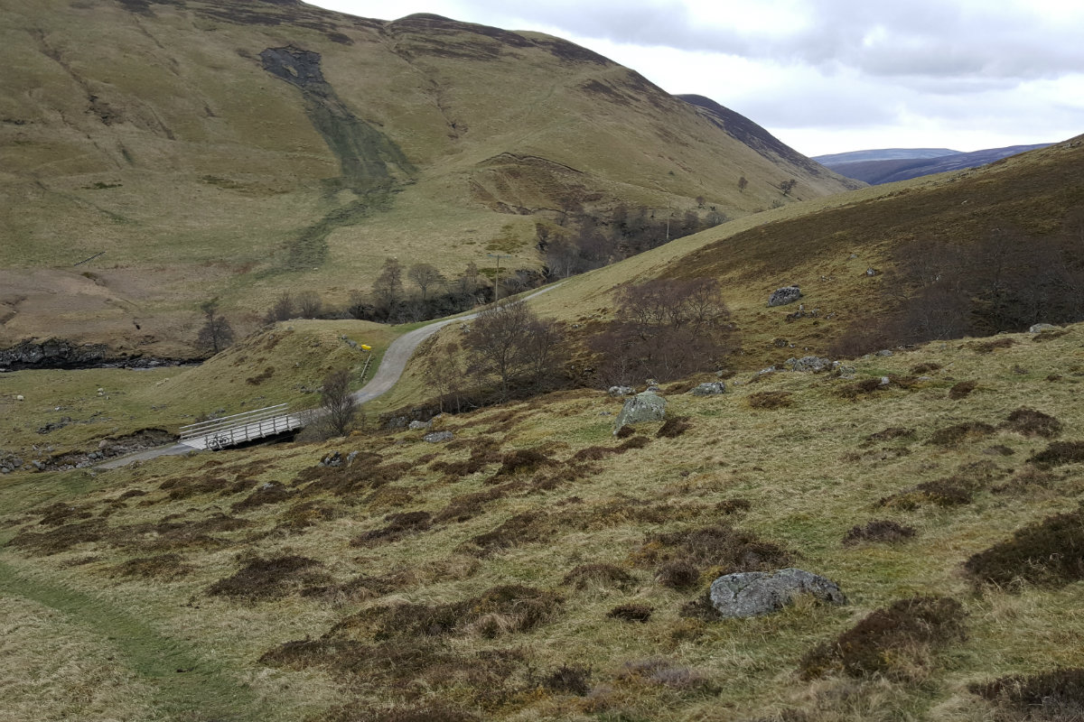
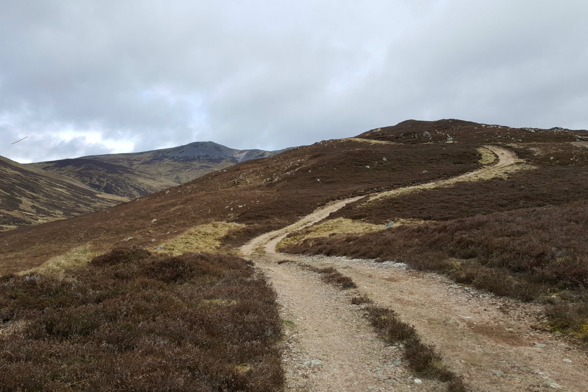
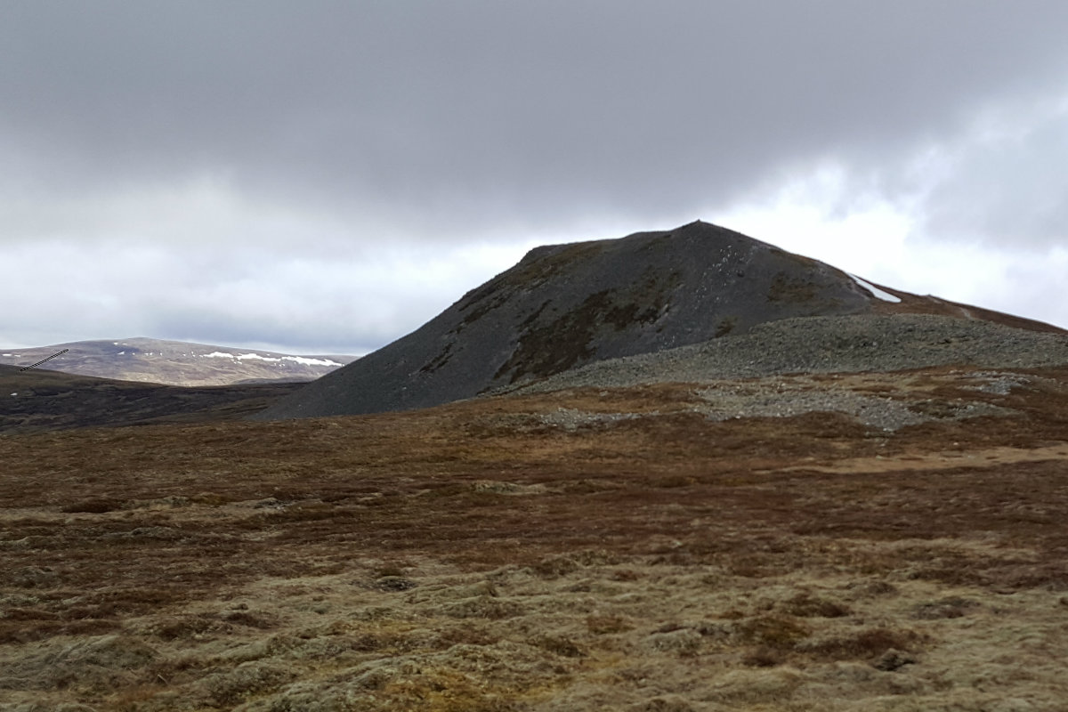
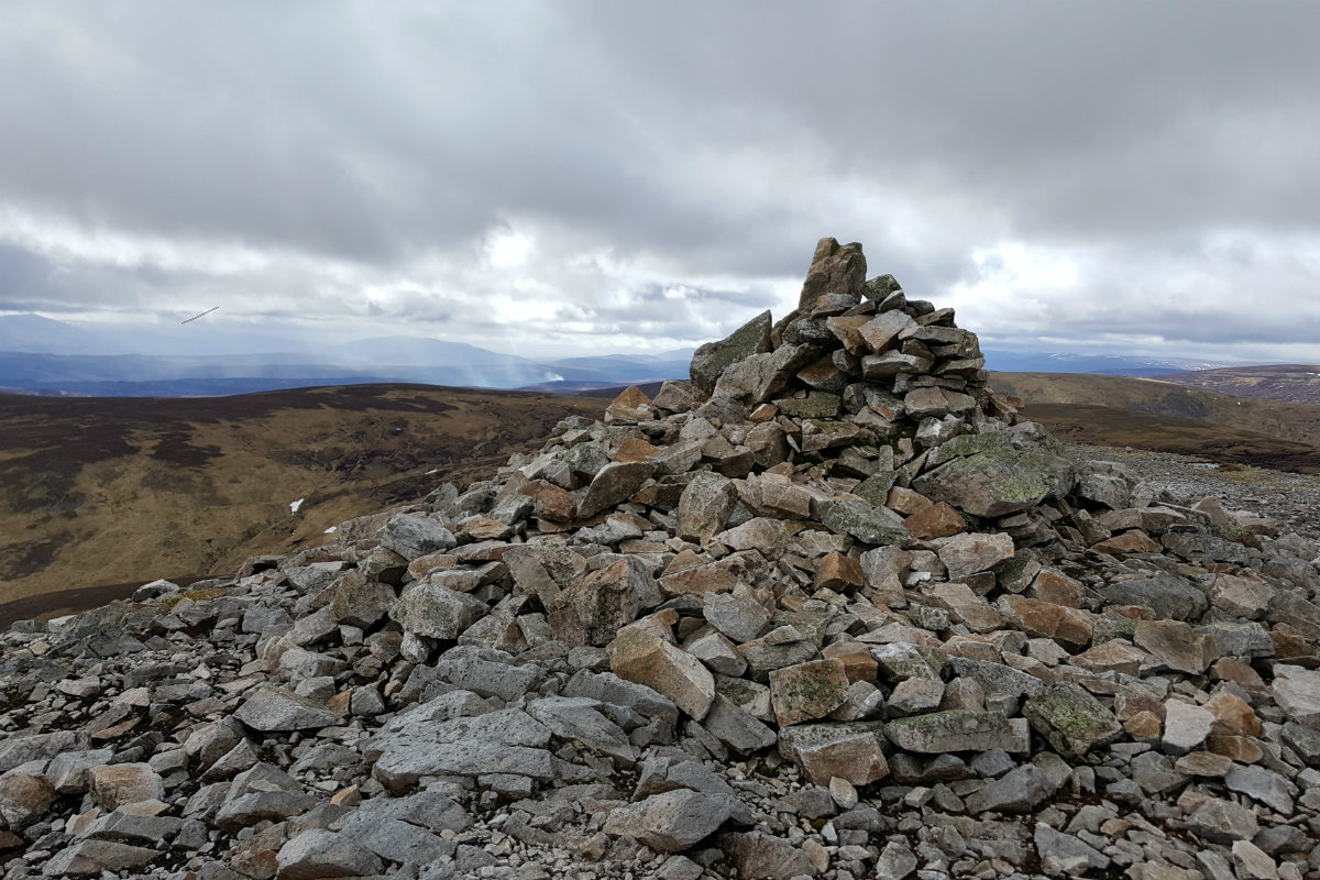
The first part of his walk is up Glen Tilt past Marble Lodge. This can be walked and indeed the timings are based on walking, but many find it best to cycle; just don't forget the cycle lock. Leave the car park, cross the road and climb steeply up the Glen Tilt track. Avoid the rifle range, crossing the stream by the bridge. From here the Glen opens out more and it is a pleasant cycle up the Glen past Gilbert's bridge, Marble Lodge and stop at the next bridge over a side stream (NN908720). Time to lock up the bike and take to the track. There is an old shepherds cottage on the other side of the main stream, Balaneasie, in need of some modernisation!! Time to put on the boots. Set off up the ridge directly from the bridge. There is a good path here and it can be followed until it reaches the newer mountain track at NN909724. From here follow this mountain track which goes nearly to the summit. At around NN722948 the track turns right with a large loo. There is a cairn on the left of the track that marks a smaller footpath. Follow the footpath to cut off some of the track. This path meets the track again at the flat area south east of the summit. The track does not go to the mountain summt, so best to climb the hill up this south east ridge where the walker will find a faint track. This is followed to the cairn that marks the summit. (13kms. 830m. 5hrs. 30min.)
Now for the return. There is no real option other than to return by the uphill route. Retrace your steps down the south east ridge to meet the track. On the descent, and to make a change, it is good to follow the track through the rocks rather than descending on the uphill path. the track is followed until the path at NN909724 is reached. This path is followed downhill, steeply, to the valley floor and the bikes. It is here that the use of a bike becomes significant. Firstly it is easy cycling or indeed free wheeling down the Glen and, secondly cycling uses different muscles allowing the walking muscles to relax. Either way the descent down Glen Tilt is easier than the uphill. Return to the car park after a great time in a remote area of the Cairngorms. (13.0kms. 0m. 3hrs. 50min.)
© cairngormhills.co.uk all rights reserved 2015-2025


