cairngormhills.co.uk
Walking the Big Hills of the Cairngorms"
CORVID-19 is still with us even though most restrictions have been relaxed in Scotland. The risks of infection are lower if outside, there is still a risk if mixing in large groups. Even so, please do not go out in the Cairngorms, or anywhere else, if you are showing signs of Corvid-19 and when out walking make sure you give people space - 1m at least and preferable 2m. Remember that if it feels too crowded then you can walk away and try somewhere else, the hills will still be there tomorrow. Also remember the MRT. They will come out to rescue you but they should not have to put themselves into danger from this virus.
A number of these routes start and finish at the main Cairngorm car park. Currently there is significant building work being undertaken in repairing the funicular. The site is fenced off to keep people out but there are routes across the work for walkers. Please keep out of this dangerous building site and follow the contractor's instructions.
Glas Maol and Creag Leacach
| Glas Maol [NO166765, 1068] | |
| Creag Leacach [NO155746, 987] | |
| OS map : | 36 |
| start : | Glenshee Ski Area Car Park |
| gridref : | NO139781 |
| summary : | Glen Shee Car Park - Glas Maol - Creag Leacach - Glen Shee Car Park |
| distance : | 10.0km. |
| ascent : | 670m. |
| time taken : | 4hr. 20min. |
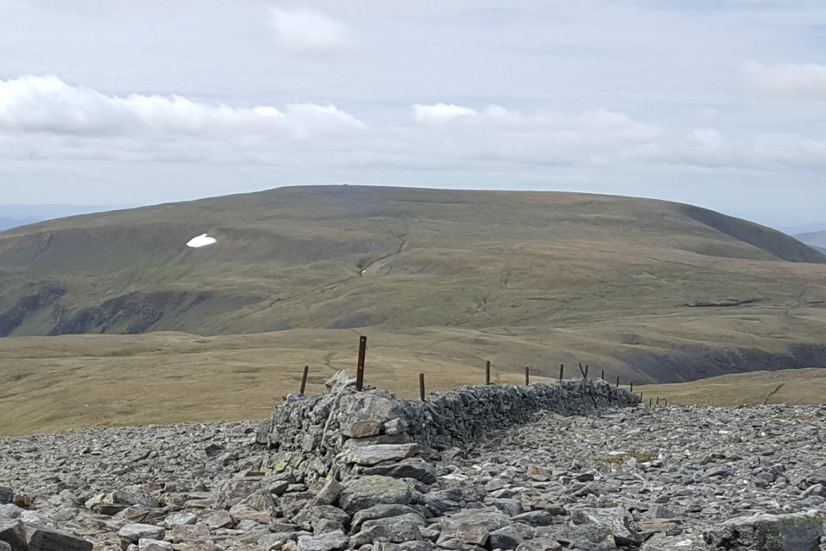
Glas Maol from Cairn of Claise
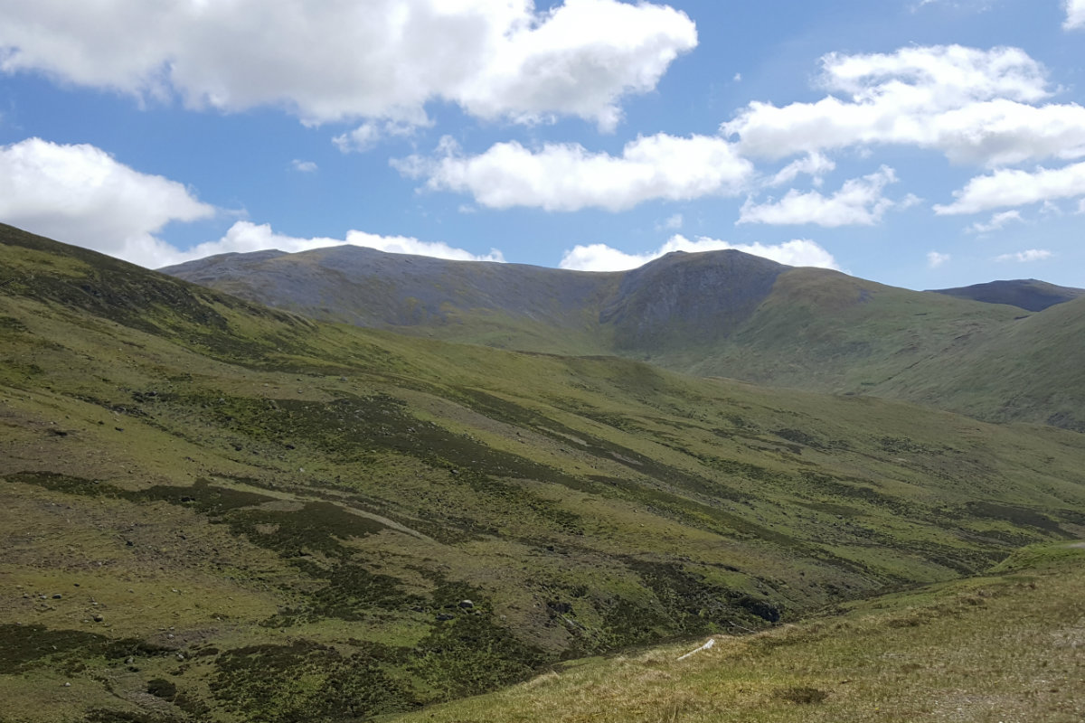
Creag Leacach from A93.
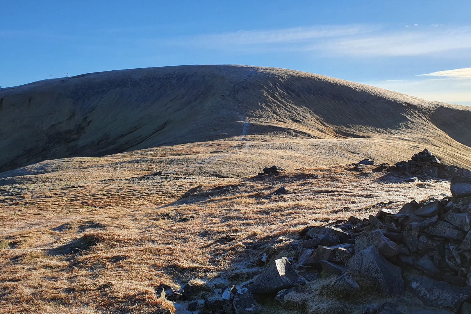
Glas Maol headwall.
Creag Leacach.
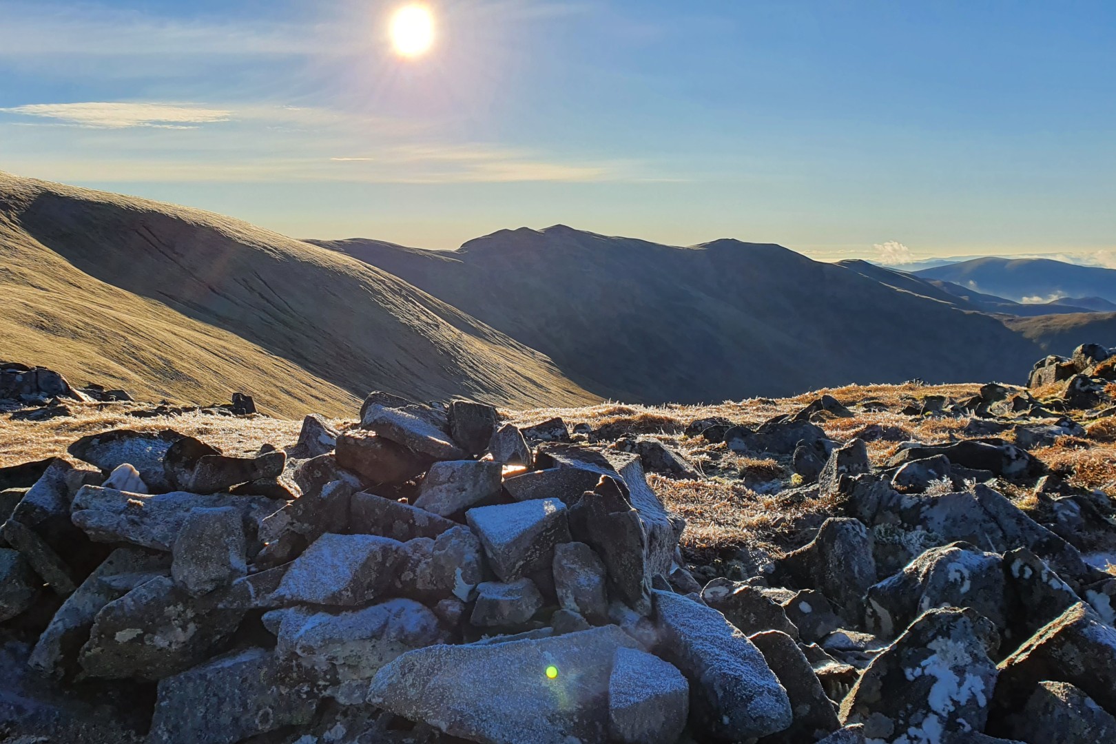
View over to west from Glas Maol.
Down from Glas Maol to Creag Leacach.
Creag Leacach.
Glas Maol.
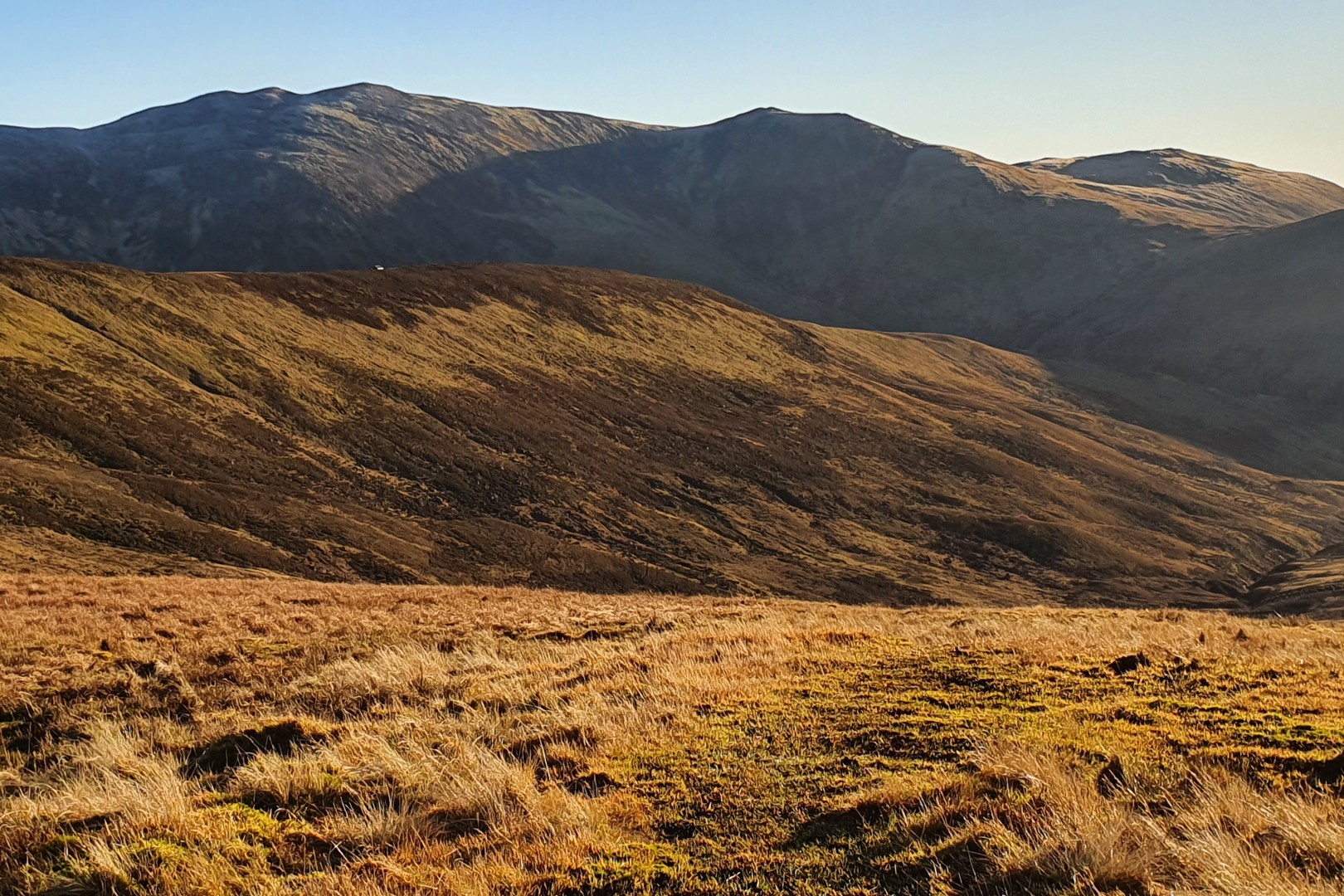
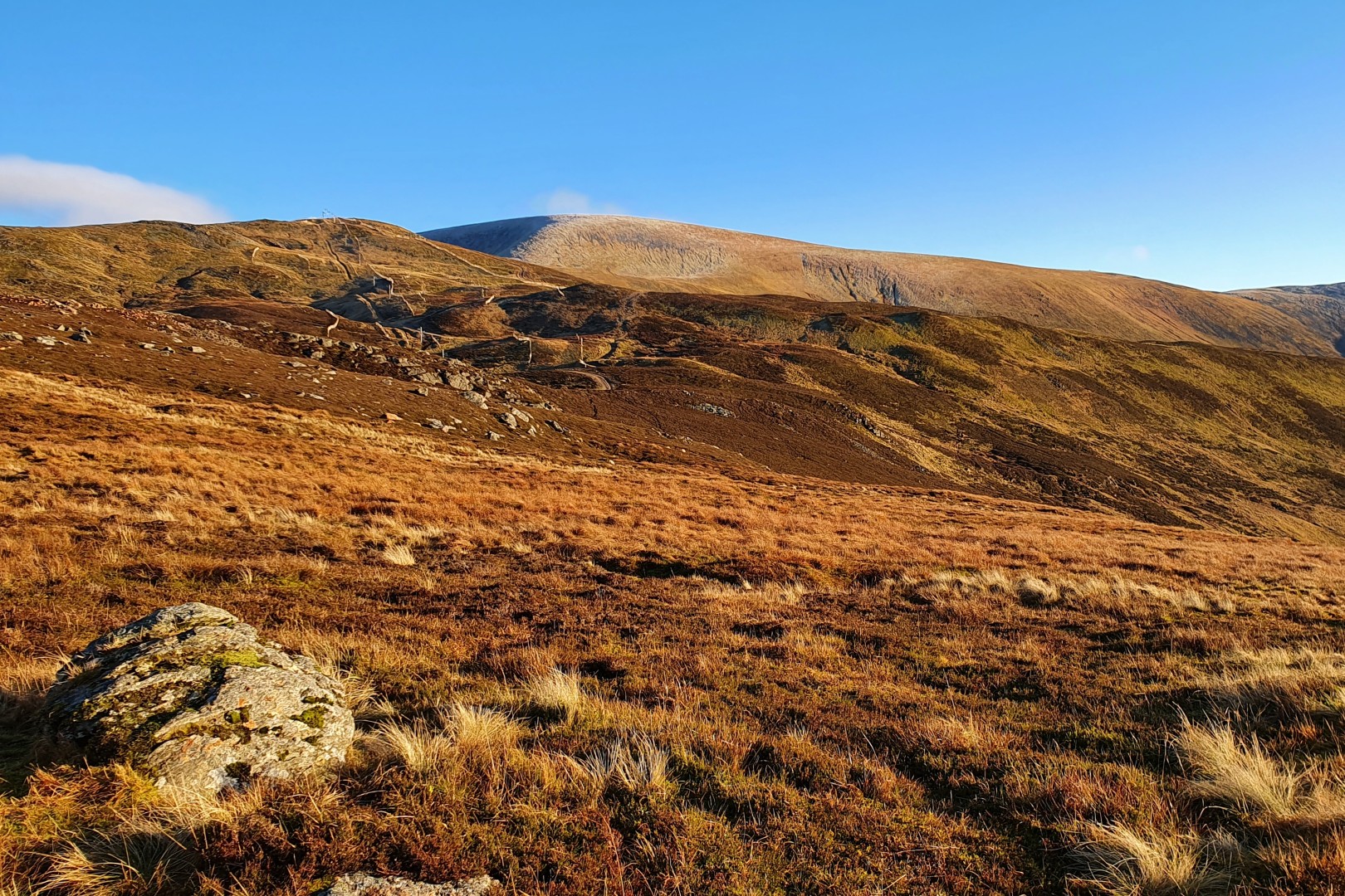
Glas Maol is the large hill on the east of the Glen Shee skiing development making it easily accessible. The ski development tracks lead nearly to the summit but the wilderness of the area is exposed as the route continues onto Creag Leacach. The ridge between the two hills is remarkably stony. This route ascends the two hills and then descends around the flanks of Glas Maol. Many will prefer to descend directly from Creag Leacach to the A93 and walk alongside the road back up to the Cairnwell car park.
The main skiers car park can look out of place with a couple of cars on a summer's day but when the skiing is on the carparks can be full. Park at the southern end of the car park near to the snow gate and Tayside / Aberdeenshire border.
There are obvious tracks through the ski development towards Glas Maol. Follow the tracks uphill over the susiduary bump to Meal Odhar. From here the face of Glas Maol is clear. Descend to the bottom of Glas Maol and ascend the hill up the obvious steep ridge to the top of the slopes. The top of the ski development can be clearly seen. The domed summit of Glas Maol is easy to reach over the grassy area. Surprising that this is so empty when there can be thousands skiing few hundred meters away. (2.5kms. 520m. 1hrs. 50min.)
The rocky summit of Creag Leaceach can be clearly seen from the summit of Glas Maol. Descend down the broad southern flank of Glas Maol heading for the bealach between the two hills. There is an obvious path leading to the bealach. Ascend Creag Leaceach by the ridge the gets progressivly rocky and narrow, although not becoming anywhere near to a scramble. The summit lies along the wall that marks the county boundary. (2.5kms. 100m. 1hrs. 0min.)
The summit of Creag Leaceach is rocky and whilst it is possible to descend to the A93 directly it is better to retrace steps to the bealach between Glas Maol and Creag leaceach. Once here there is a good path countouring the southern flank of Glas Maol. follow this north to meet the boundary of the ski development. From here turn left and descend the tracks back to the car park. (5.0kms. 50m. 1hrs. 40min.)
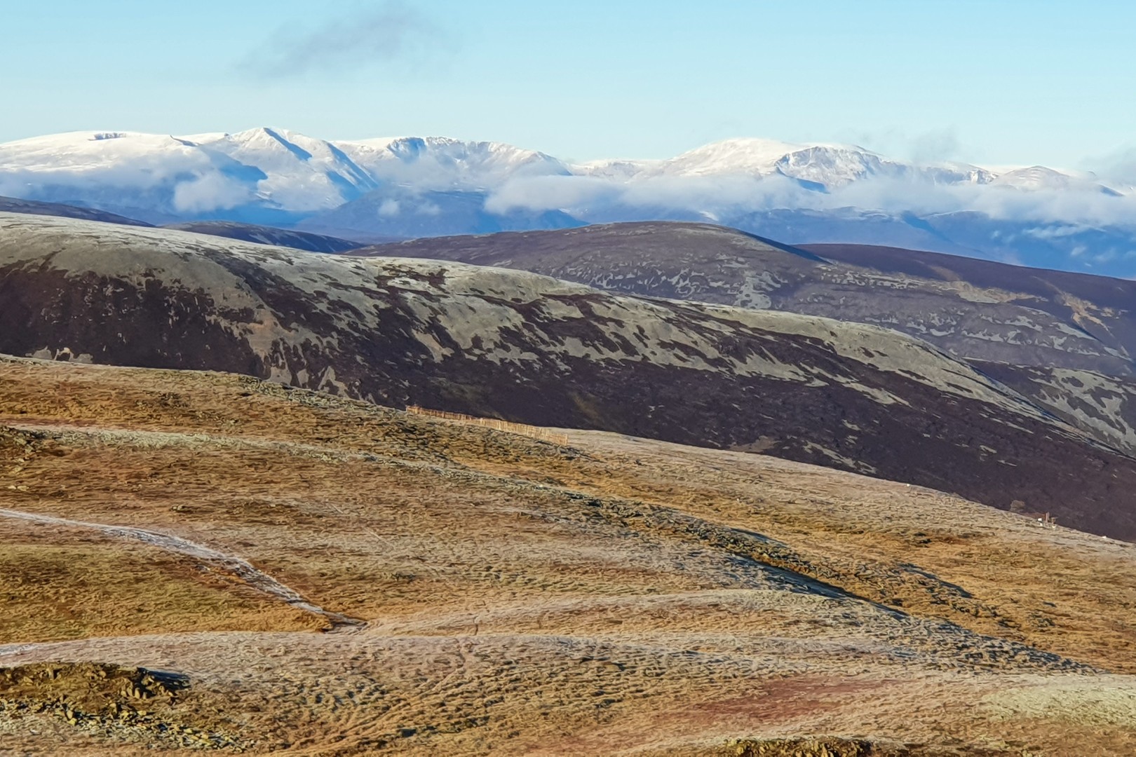
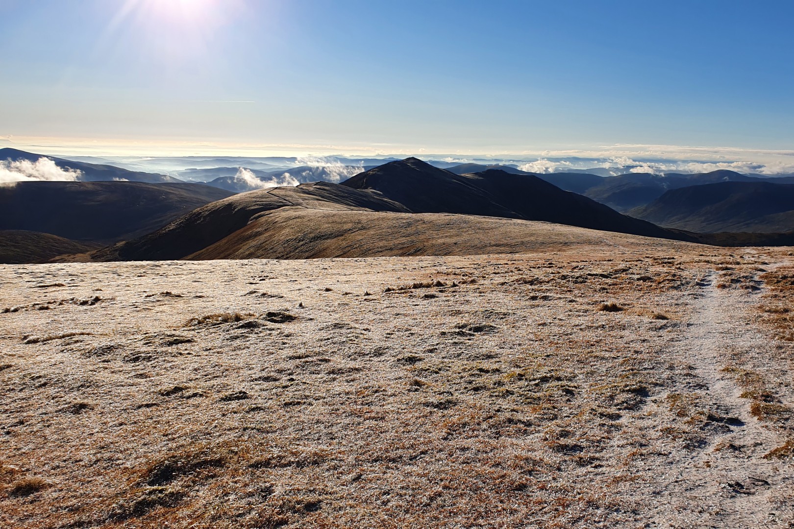
28th November 2020 A temperature inversion with low cloud all the way up the valley and then BOOM out of the cloud to clear blue skies. Really frosty maybe mixed with a light snow shower overnight gives the walk a flavour of winter. It is a while since i was here and the paths are all more distinctive. Great views all around especially over to the Cairngorms covered in white. Bit of a cheat as only walked to Glas Maol and down to the cairn before walking around the face and back to the car park.
© cairngormhills.co.uk all rights reserved 2015-2026