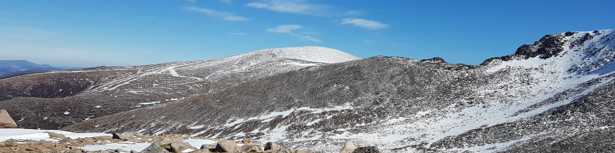
Ground Conditions: End of September and well into autumn. It has been a very hot summer, with serious fires in the Cairngorms centered around the area of Bynach More. Now, after some rain the ground is not as dry and there have been reports of the rivers being hard to cross. [September 2026]
Eastern Glen Shee Hills.
| Cairn of Claise [NO185789, 1064] | |
| Carn an Tuic [NO174804, 1019] | |
| OS map : | 43 |
| start : | A93 Car Park. |
| gridref : | NO148800 |
| summary : | A93 roadside - Cairn of Claise - Carn an Tuirc A93 roadside |
| distance : | 10.0km. |
| ascent : | 580m. |
| time taken : | 4hr. 10min. |

View of summit of Cairn of Claise and Glas Maol
©cairngormhills.co.uk
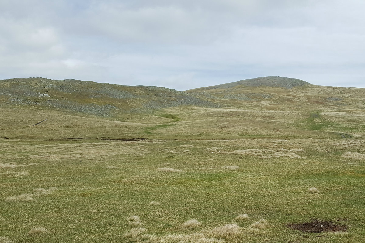
Cairn of Claise
©cairngormhills.co.uk
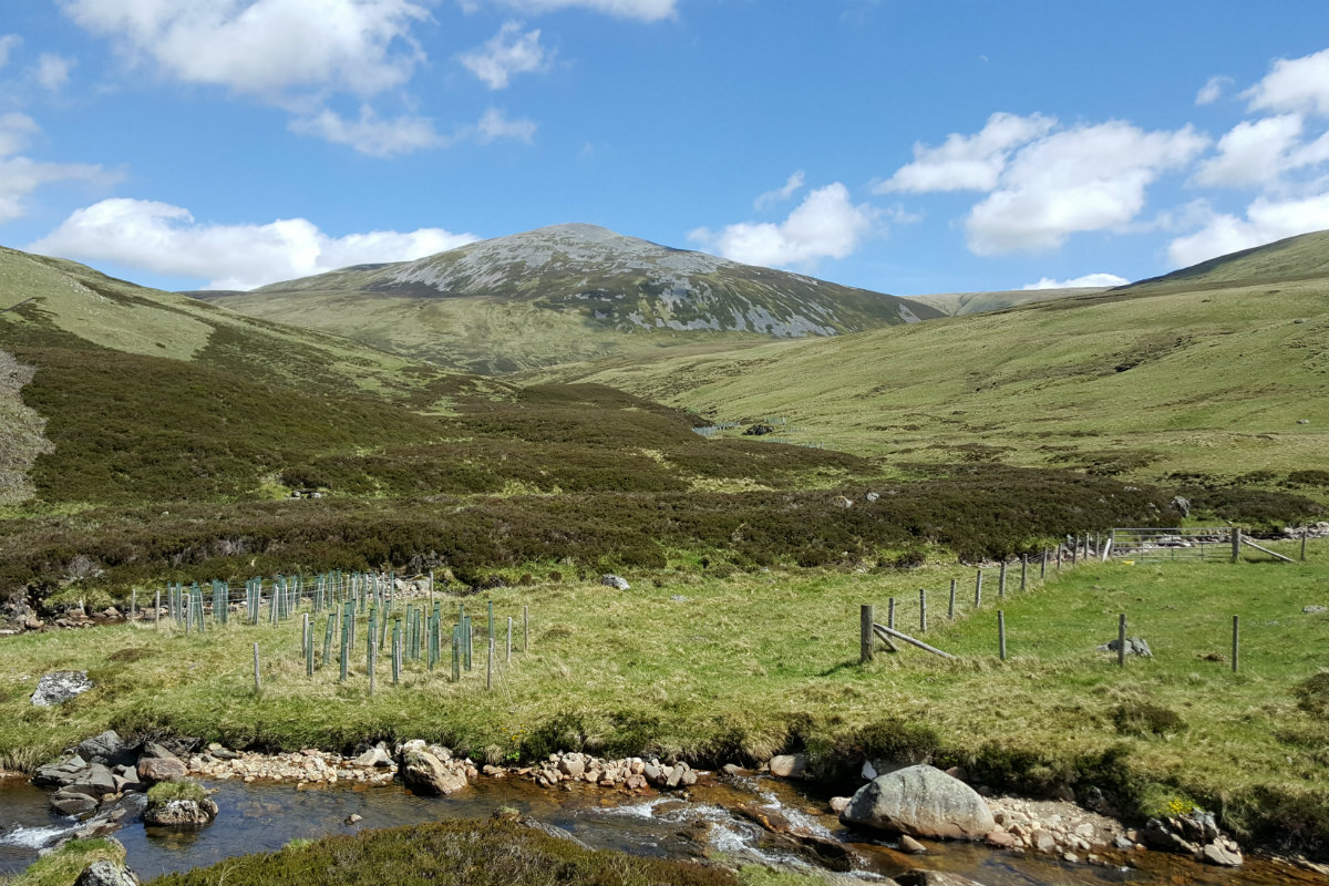
Carn an Tuirc
©cairngormhills.co.uk
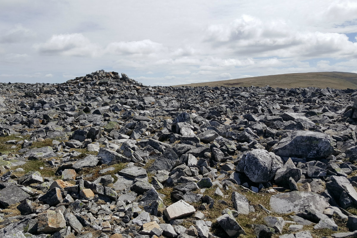
Carn an Tuirc summit
©cairngormhills.co.uk
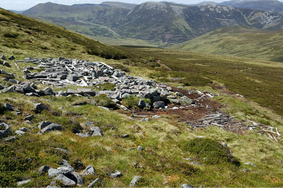
Way down - remnants of hut.
©cairngormhills.co.uk

Cairn an Tuirc from Glenshee ski slopes.
©cairngormhills.co.uk
Situated directly north of the Glenshee ski developments, these summits sit along the boundary of the resort area while remaining largely unaffected by its infrastructure. Characteristic of the region, the terrain features smooth, grassy slopes with underlying rock that provides a firm walking surface underfoot in most weather conditions, barring heavy snow. This route ascends the two Munros positioned nearest to the A93 north of the ski complex.
Section 1:
Distance: 4 kms. | Ascent: 520 m. | Estimated Time: 2 hrs. 20 min.
Section 2: Cairn of Claise to Càrn an Tuirc
Distance: 2.5 kms. | Ascent: 60 m. | Estimated Time: 1 hrs. 0 min.
Section 3: Descent to the A93
Distance: 3.5 kms. | Ascent: 0 m. | Estimated Time: 1 hrs. 10 min.
gemini [AI] has been used to improve the text in this description
4th November 2022 The weather forecast promised sunshine but out on the hills there was a strong reminder that this is November. There was a strong cold wind and the sun appeared only when the morning cloud had lifted. The pools of water were frozen higher up - winter is nearly here. I was glad to have lots of clothing layers to put on. Despite this there were a few hardy soles out on these hills. This is a great walk for these shorter days.
28th April 2021 I should not be be deceived by the weather forecast which indicated a bright day - this was full winter blizzard. Well showers and the views in the clear periods were great. The snow hides some of the paths but navigation is simple here. A fantastic day out on the hills and not busy.
© cairngormhills.co.uk all rights reserved 2015-2026