Ground Conditions: End of September and well into autumn. It has been a very hot summer, with serious fires in the Cairngorms centered around the area of Bynach More. Now, after some rain the ground is not as dry and there have been reports of the rivers being hard to cross. [September 2026]
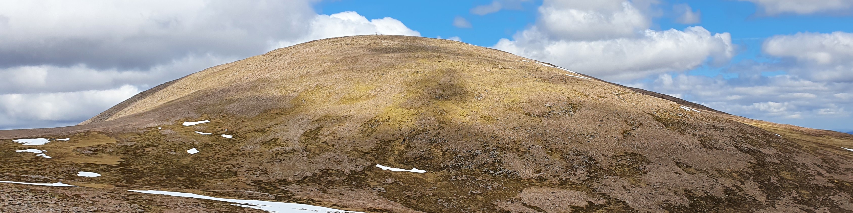
Braeriach from Ski Road
| Braeriach [NN953999, 1296] | |
| OS map : | 36 |
| start : | Sugar Bowl Car Park |
| gridref : | NH985075 |
| summary : | Sugar Bowl car park - Chalamain Gap - Breariach - Chalamain Gap - Sugar Bowl car park |
| distance : | 20.0km. |
| ascent : | 960m. |
| time taken : | 7hr. 40min. |

View of Braeriach from other side of Lairig Ghru in spring.
©cairngormhills.co.uk
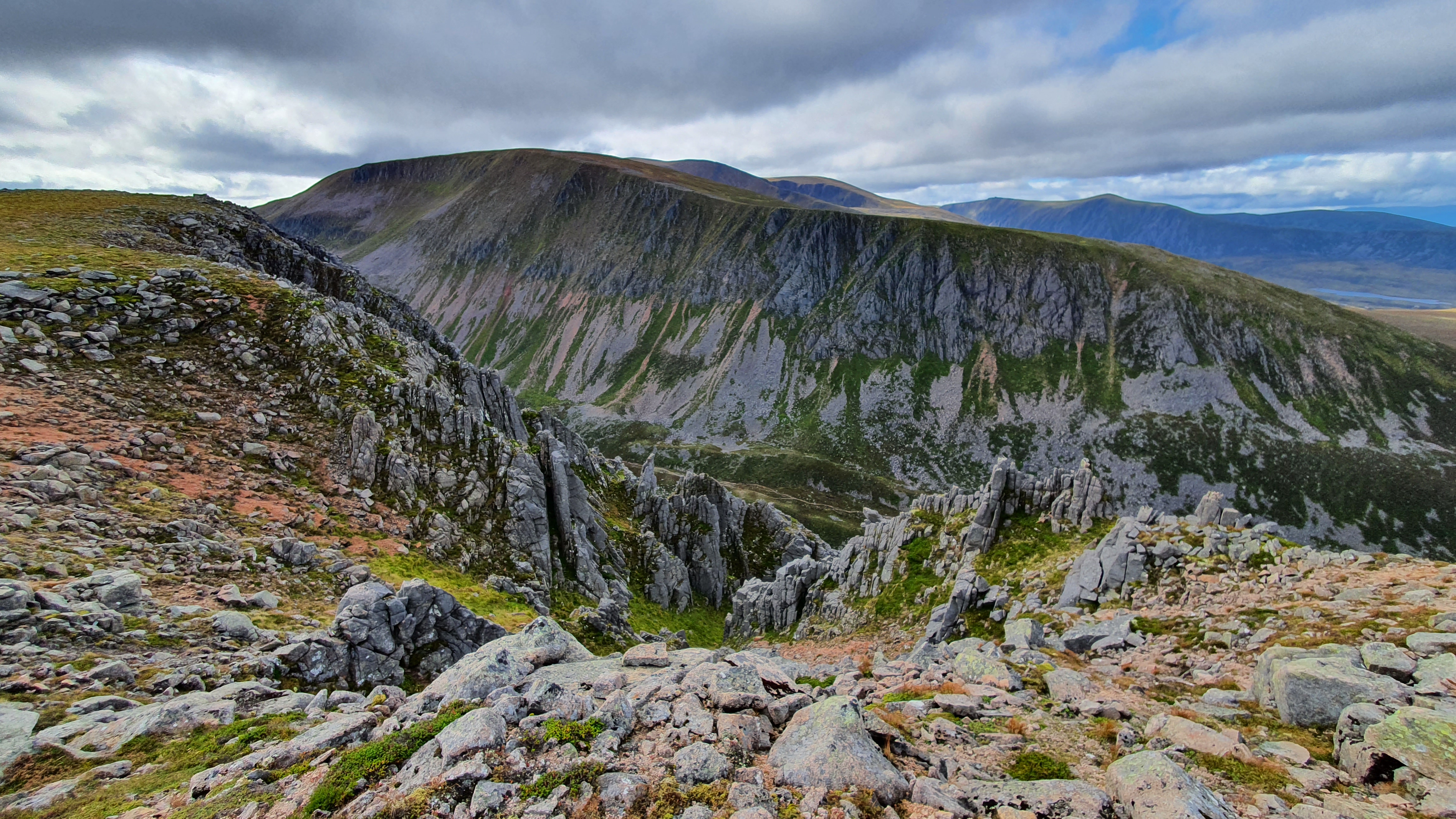
View of Braeriach from other side of Lairig Ghru in autumn.
©cairngormhills.co.uk
As one of the highest peaks in the UK, Braeriach is a prominent landmark when viewed from the Spey Valley, yet its remoteness requires significant effort to ascend. The most accessible route approaches from the north, utilizing the ski access road to gain initial elevation.
Section 1: Sugarbowl Car Park to Braeriach Summit
Distance: 10 kms. | Ascent: 840 m. | Estimated Time: 4 hrs. 40 min.
The summit is marked by a prominent cairn situated near the cliff edge
overlooking Coire Bhrochain.
Section 2: Braeriach Summit to Sugarbowl Car Park
Distance: 10 kms. | Ascent: 120 m. | Estimated Time: 3 hrs. 10 min.
gemini [AI] has been used to improve the text in this description
© cairngormhills.co.uk all rights reserved 2015-2026