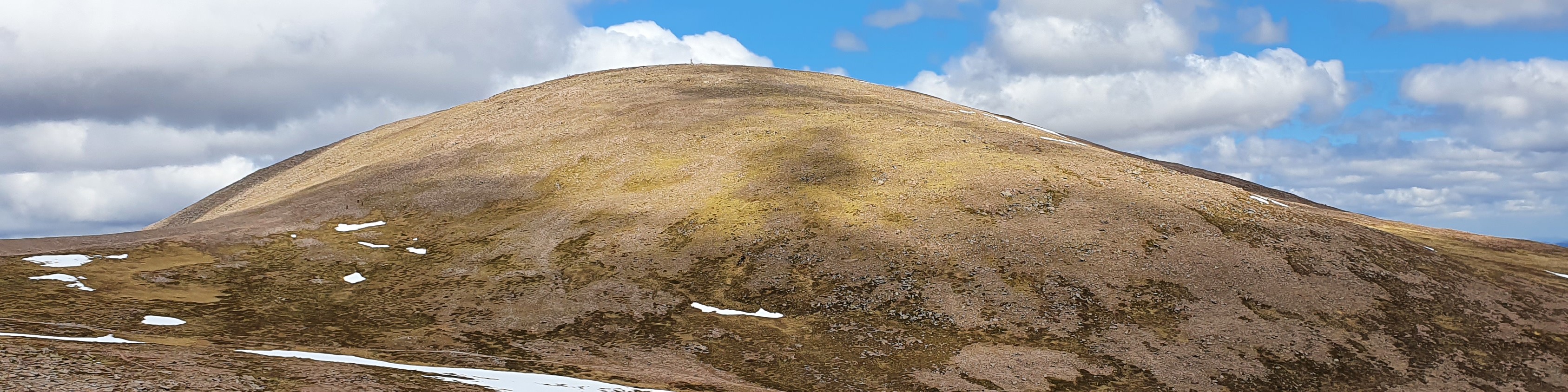
Ground Conditions: End of September and well into autumn. It has been a very hot summer, with serious fires in the Cairngorms centered around the area of Bynach More. Now, after some rain the ground is not as dry and there have been reports of the rivers being hard to cross. [September 2026]
Ascent of Geal Charn
| Geal Charn [NN562988, 925] | |
| OS map : | 35 |
| start : | Spey Dam |
| gridref : | NN582736 |
| summary : | Spey Dam - Geal Charn - Spet Dam |
| distance : | 12.5km. |
| ascent : | 650m. |
| time taken : | 5hr. 0min. |
Cairngorm Hills
©cairngormhills.co.uk
Geal Charn lies in the Monaliath, remote from the other Munros. The route is from Spey Dam just west of Laggan and up Glen Markie.
Follow the minor road west of Laggan and park at Spey Dam just as the road crosses the Spey. Good parking alongside the road.
From Spey bridge follow the track,initially west then over the dam and north up Glen Markie. Follow the track to the foot of Piper's Burn. Cross the Markie Burn and then follow up the hillside in a north westerly direction, keeping to the hillside east of the lochan. Follow this to the main Monadliath ridge. Turn south west and follow the ridge to the summit. (7.5kms. 650m. 3hrs. 30min.)
The descent is usually by the uphill route. A circular route is possible but it doe involve crossing the Markie Burn lower down which may be difficult in wet weather. Follow the main ridge north east and then, when the rocks allow, turn south west to Piper's Burn and down to the Marki Burn. Back to Spey bridge along the track.(5kms. 0m. 1hrs. 30min.)
© cairngormhills.co.uk all rights reserved 2015-2026