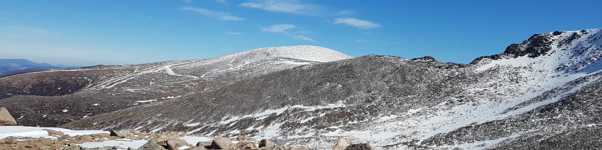
Ground Conditions: End of September and well into autumn. It has been a very hot summer, with serious fires in the Cairngorms centered around the area of Bynach More. Now, after some rain the ground is not as dry and there have been reports of the rivers being hard to cross. [September 2026]
Cairngorm and Ben Macdui
| Cairngorm [NJ004040, 1245] | |
| Ben Macdui [NN988989, 1309] | |
| OS map : | 36 |
| start : | Cairngorm Ski Area Car Park |
| gridref : | NH990060 |
| summary : | Cairngorm Car Park - Cairngorm - Ben Macdui - Cairngorm Car Park |
| distance : | 16.0km. |
| ascent : | 810m. |
| time taken : | 6hr. 20min. |
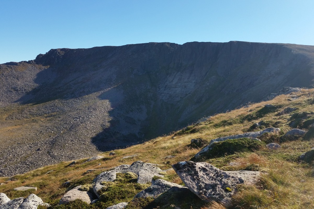
Coire an Lochain
©cairngormhills.co.uk
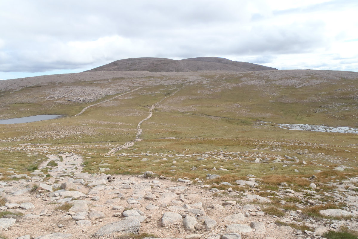
On the way to Ben Macdui
©cairngormhills.co.uk
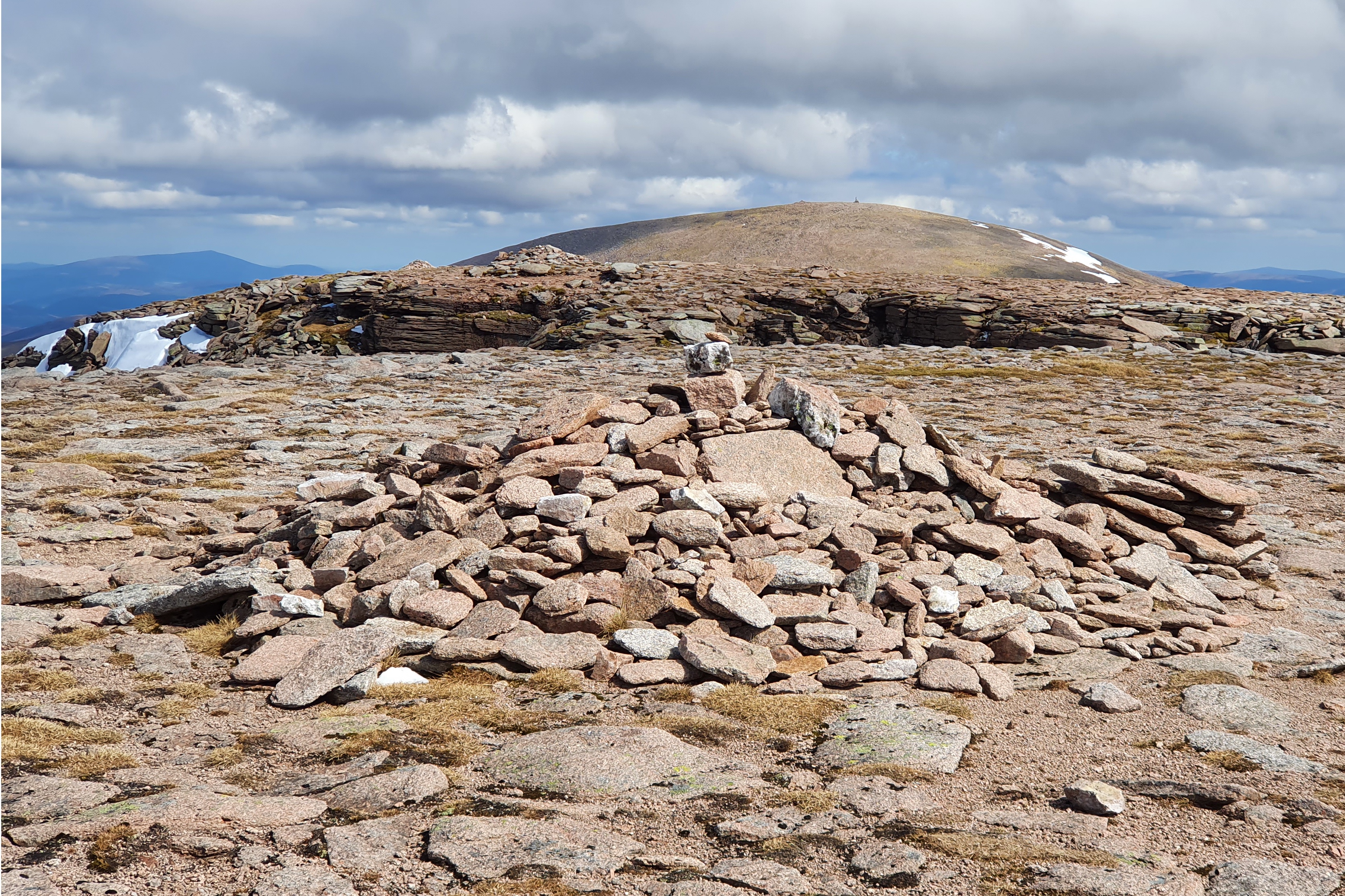
The dome of Cairngorm from Northern Coires
©cairngormhills.co.uk
Although Cairngorm and Ben Macdui are among the highest peaks in the UK, Cairngorm’s proximity to the ski infrastructure makes it readily accessible. In contrast, continuing on to Ben Macdui offers a true wilderness experience, leaving the developed area far behind. Walkers should note that despite nearby infrastructure, the Cairngorm plateau remains one of the most exposed and challenging mountain environments in the UK, requiring careful preparation and respect.
Section 1: Coire Cas Car Park to Cairngorm Summit
Distance: 3 kms. | Ascent: 640 m. | Estimated Time: 2 hrs. 10 min.
Multiple paths ascend from Coire Cas through the ski area to the summit.
During winter conditions, walkers should remain along the edge of the pistes
adjacent to the snow fences for safety and courtesy to skiers.
The summit of Cairngorm is distinctive, marked by a prominent cairn and an
automatic weather station.
Section 2: Cairngorm Summit to Ben Macdui
Distance: 6 kms. | Ascent: 170 m. | Estimated Time: 2 hrs. 10 min.
The broad summit of Ben Macdui is easily recognized by its large cairn and
triangulation pillar.
Section 3: Ben Macdui to Coire Cas Car Park
Distance: 7 kms. | Ascent: 0 m. | Estimated Time: 2 hrs. 10 min.
gemini [AI] has been used to improve the text in this description
© cairngormhills.co.uk all rights reserved 2015-2026