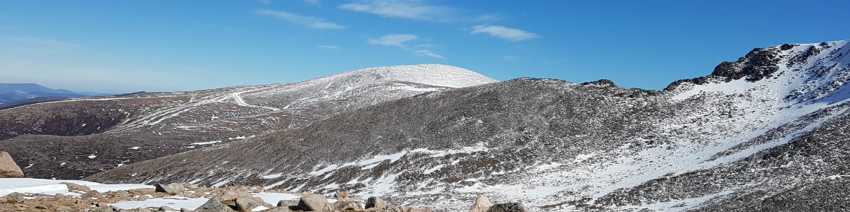
Ground Conditions: End of September and well into autumn. It has been a very hot summer, with serious fires in the Cairngorms centered around the area of Bynach More. Now, after some rain the ground is not as dry and there have been reports of the rivers being hard to cross. [September 2026]
Monadliath 3
| Carn Dearg [NH636024, 945] | |
| A Chailleach [NH680042, 930] | |
| Cairn Sgulain [NH684058, 920] | |
| OS map : | 35 |
| start : | End of Minor road - Newtonmore |
| gridref : | NN693997 |
| summary : | End of minor road Newtonmore - A 'Chailleach - Carn Sgulain - Carn Dearg End of minor road Newtonmore |
| distance : | 24.5km. |
| ascent : | 1000m. |
| time taken : | 9hr. 10min. |
Cairngorm Hills
©cairngormhills.co.uk
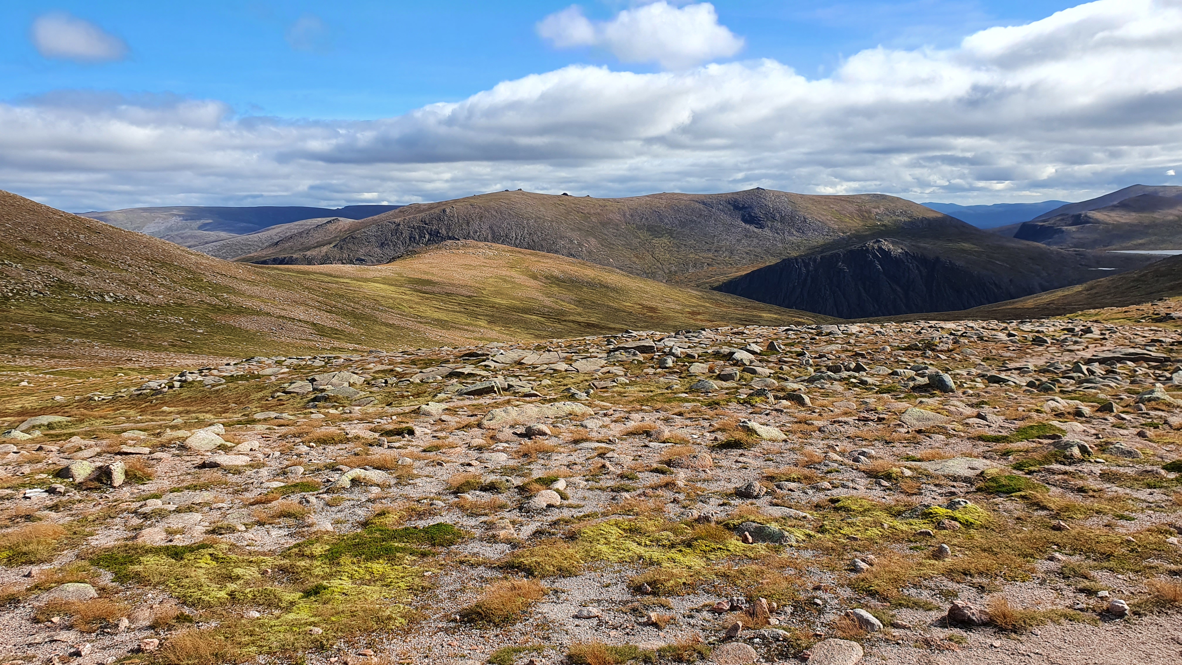
These three Munros lie above the village of Newrtonmore and provide an interesting, but long, horseshoe. the route goes up to the main Monadliath ridge which is a grassy rolling ridge rather than the rocky ridges of most of the Cairngorm. In many places the ground can be wet and at times muddy, so keeping to the high ground or tracks is to be recommended.
The minor road that leaves the village of Newtonmore is followed for some 2km until a car park is found at the end of the public road.
From the car park follow the track north in the direction of the Allt a' Chaorain to the end of the track and then another 500m to reach the stalkers track that climbs directly up the ridge to A 'Chailleach. After a while you reach a bothy high up the ridge. Continue uphill to reach the main south west ridge of A 'Chailleach and then turn north east to reach the big cairn marking the summit. This is easy to find given the line of fence posts along the ridge. (6.0kms. 590m. 3hrs. 0min.)
The route to Carn Sgulain is quite short but can be wet. The best way is to head for the col at NH674043. From here head directly, north, uphill to the main Monadliath ridge. Once at .908 turn right, north east, to climb to the summit of Carn Sgulain which is marked by a cairn.(3kms. 60m. 1hrs. 0min.)
The route to Carn Dearg is down the main Monadliath ridge in a south westerly direction to Carn Ban. This ridge is a collection of moss grass and rocks giving straiightforward and good walking. From Carn Ban Leave the main ridge and follow the southern ridge directly too Carn Ban. The summitis perched over the east facing coire. This is not a clean rock coire but more a grassy scoop. (6.5kms. 250m. 2hrs. 30min.)
The shortest descent is to continue down the southern ridge of Carn Dearg past the crags on the left and onto Carn Macoul. Follow the south east slopes of this hill and where it flattens out head directly to the path in Glean Lochan. Once at the path follow this downstream and onto Glean Banchor and then along the glen to the car park. This is a rough descent which some may not fancy. In good visibility it is possible to pick the better lines down the hillside from the end of the ridge. (9kms. 100m. 2hrs. 50min.)
© cairngormhills.co.uk all rights reserved 2015-2026