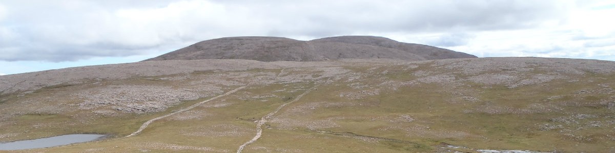
Ground Conditions: End of September and well into autumn. It has been a very hot summer, with serious fires in the Cairngorms centered around the area of Bynach More. Now, after some rain the ground is not as dry and there have been reports of the rivers being hard to cross. [September 2026]
West GlenShee Hills
| The Cairnwell [NO135773, 933] | |
| Cairn Aosta [NO135791, 917] | |
| Carn a Gheoidh [NO107767, 975] | |
| OS map : | 43 |
| start : | Glenshee Ski Area Car Park |
| gridref : | NO139781 |
| summary : | Glenshee Ski Area Car Park - Carn Aosta - Carn a'Gheoidh - The Cairnwell - Glenshee Ski Area Car Park |
| distance : | 10.5km. |
| ascent : | 510m. |
| time taken : | 4hr. 10min. |
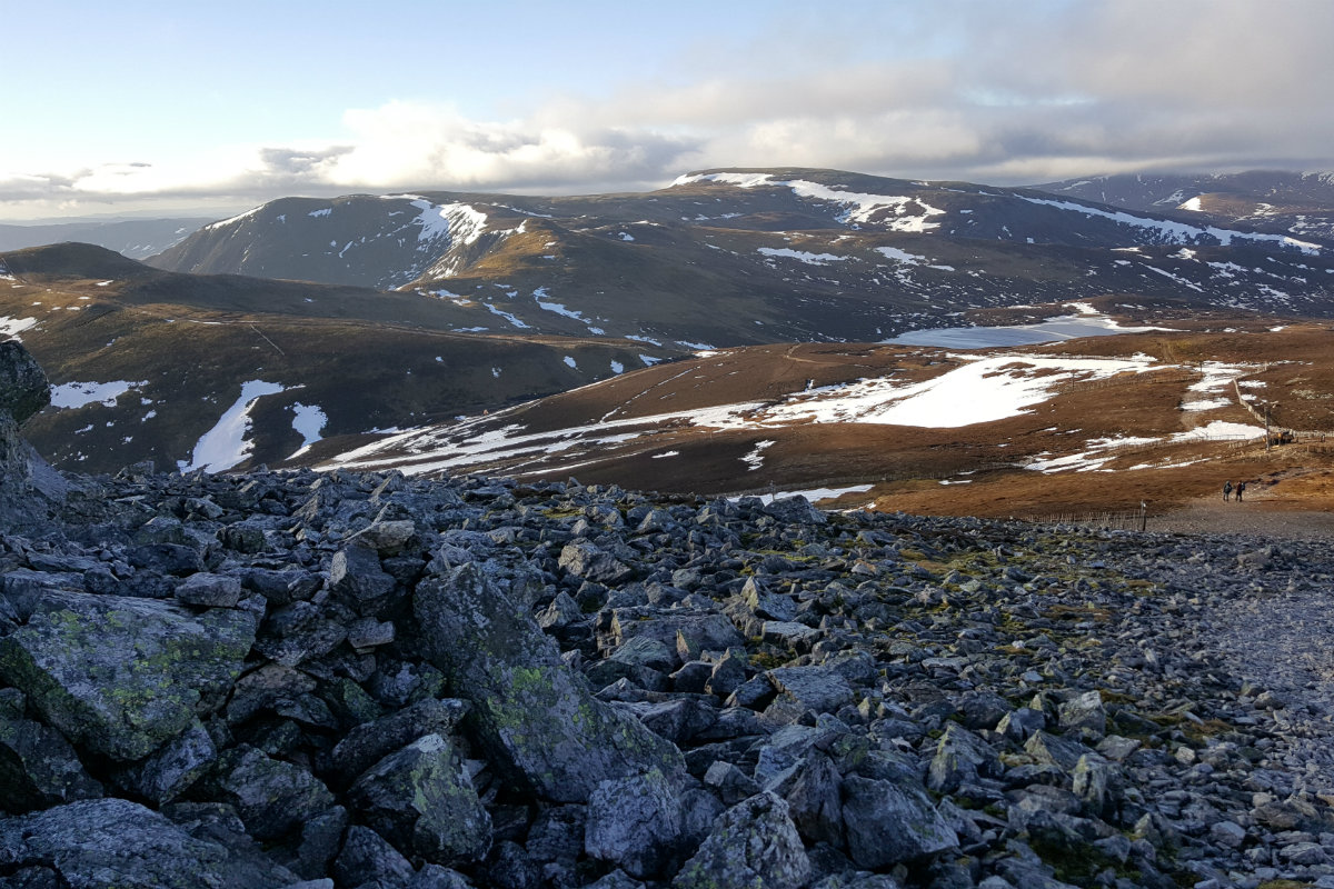
View over to Carn a'Gheoidh from Carn Aosta.
©cairngormhills.co.uk
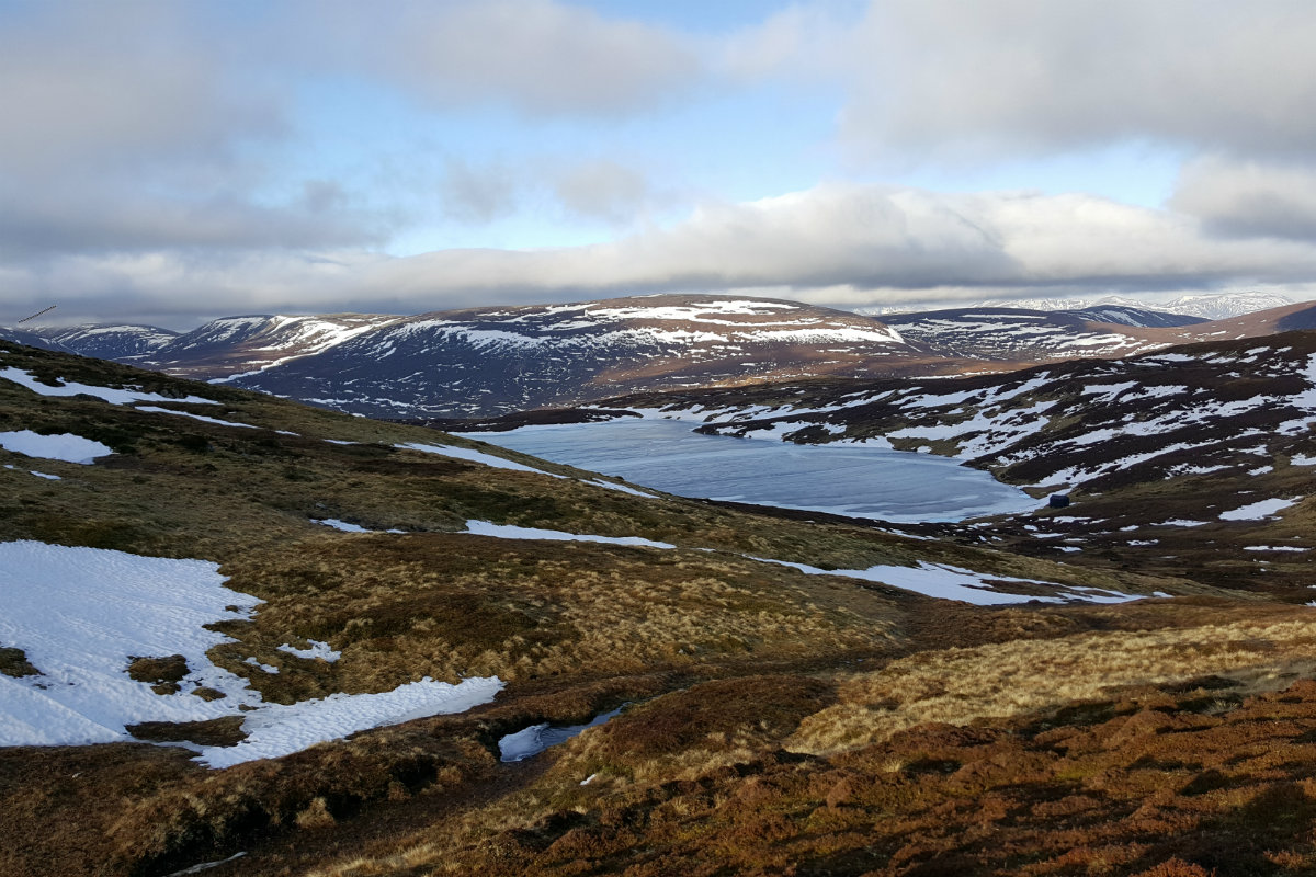
View of Loch Vrotagan from Carn a'Gheoidh.
©cairngormhills.co.uk
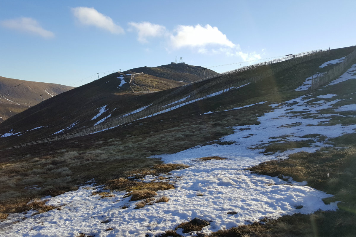
The summit slopes of The Cairnwell.
©cairngormhills.co.uk
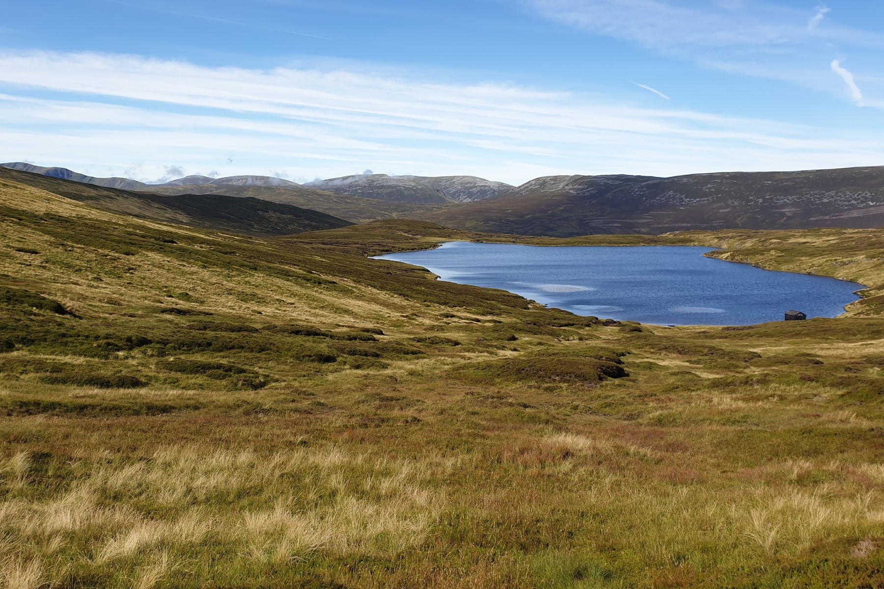
Loch Vrotachan and over to Cairngorms.
©cairngormhills.co.uk
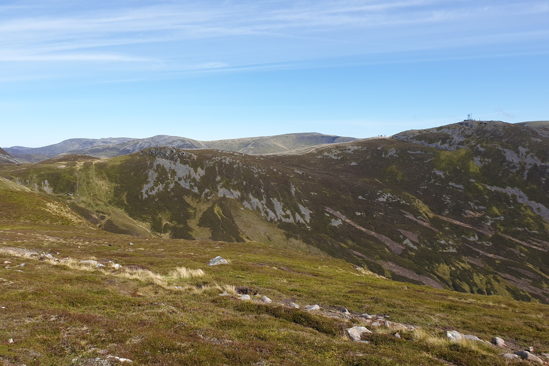
View over to the Cairnwell.
©cairngormhills.co.uk

View over to Glas Maol.
©cairngormhills.co.uk
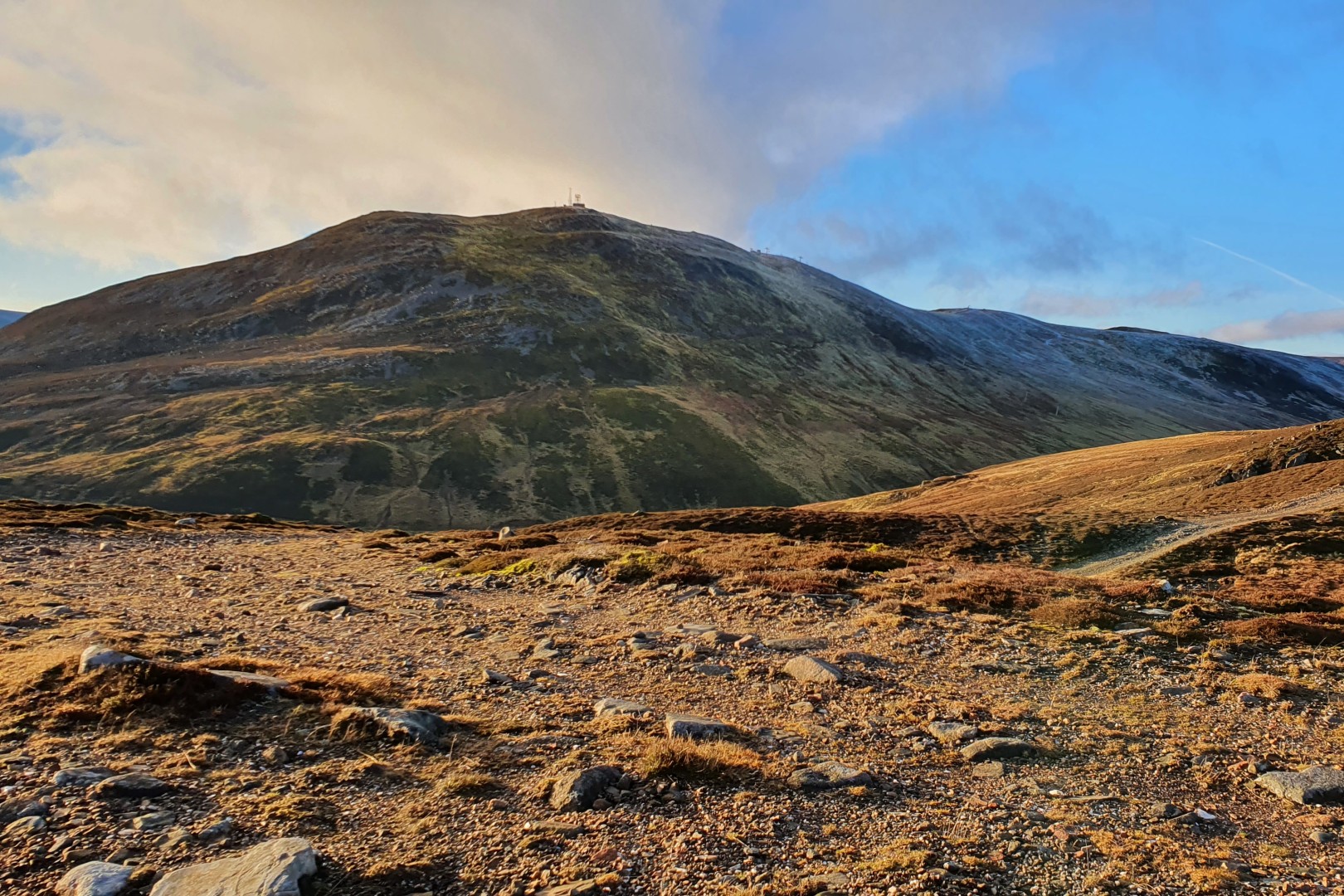
Cairwell from eastern ski slopes.
©cairngormhills.co.uk
The A93 ascends over the pass between Glen Shee and Glen Clunie, the hub of the Glenshee ski area. Situated west of the resort, three highly accessible peaks benefit significantly from the high-elevation starting point. While the two nearest summits sit on the boundary of the ski development and lack a sense of isolation, Càrn a' Ghèoidh offers a genuinely wild and remote Cairngorms experience. The terrain consists predominantly of grassy slopes interspersed with extensive boggy, wet ground.
Section 1:
Distance: 2.0 kms. | Ascent: 270 m. | Estimated Time: 1 hrs. 10 min.
A rocky cairn marks the summit of Càrn Aosta, which features excellent northern
views across to the high Cairngorm plateaus.
Section 2:
Distance: 5.0 kms. | Ascent: 140 m. | Estimated Time: 1 hrs. 50 min.
Navigation & Winter Note:
The final summit slopes are steep and
tend to hold snow late into the season. In winter conditions, it is safer
to bear left (north) off the ridge to ascend via gentler gradients.
Due to the featureless terrain, navigation can be challenging in poor
visibility.
Section 3:
Distance: 2.0 kms. | Ascent: 100 m. | Estimated Time: 0 hrs. 50 min.
The summit is heavily developed, housing an extensive array of telecommunications
masts and infrastructure. A prominent cairn marks the true summit.
Section 4:
Distance: 1.5 kms. | Ascent: 0 m. | Estimated Time: 0 hrs. 30 min.
gemini [AI] has been used to improve the text in this description
1st June 2021 A nice sunny and warm day out on the hills. Didn't climb the most accessible Minros, but walked over to Carn a Gheoidh. Great walk and into the wild once away from the ski developments. There were a lot of people out and ver to Carn a Gheoidh which is often deserted.
12th April 2021 Just about out of Lockdown and this hill is in the local area. Couldn't resist today as it was forecast as wall to wall sunshine; as it was. Snow on the ground to make for good views. Only did the "easy" two as the ground was very slippy and wanted a lazy day. There are good paths up and around these two hills. Quite a few people out as expected on such a beautiful day.
8th September 2019 A sunny early autumnal day with quite a number of people out on these hills. Well they are convenient. The ground is quite wet after the rain over the past week or was this over the whole summer. Cannot help thinking that the ski development needs a lot of a tidy up. Due to clear skies and sun some excellent views over the Cairngorm Massif with great views over to Ben Avon Ben Macdui and Cairn Toul. Beinn a'Ghlo looks massive from here.
© cairngormhills.co.uk all rights reserved 2015-2026